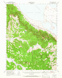
1950 Map of Milford
USGS Topo · Published 1966About this map
Honey Lake dominates the northern reaches of this mid-century survey, its expansive shoreline meeting a landscape defined by the rugged interface of the Lassen National Forest and Plumas National Forest. The settlement of Milford serves as a small hub along the eastern edge, while high-elevation landmarks like Cottonwood Peak and Black Mtn provide significant vertical relief. Historical land use is visible through sites like Honey Lake Mine and Plinco Mine, which speak to the area's extraction history, while the Dixie Mountain State Game Refuge indicates a commitment to conservation in the southern portion of the quadrangle. A network of pack trails, including the Stony Ridge Trail and Jordan Creek Trail, threads through the canyons and valleys, connecting remote locations such as Jenkins Sheep Camp and the Laufman Ranger Sta.
Find a feature on this map
44 named features on this map. Tap any name to fly to it.
Don’t see what you’re looking for? This feature index may not catch every label — zoom into the map to look around manually.
Map Details
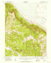
Editions of this 1950 Milford Map
3 editions found

Other maps of this area

1886 · Honey Lake
USGS Topo · 1:250,000

1890 · Sierraville
USGS Topo · 1:125,000

1891 · Downieville
USGS Topo · 1:125,000

1891 · Honey Lake
USGS Topo · 1:250,000

1892 · Sierraville
USGS Topo · 1:125,000

1893 · Honey Lake
USGS Topo · 1:250,000

1893 · Downieville
USGS Topo · 1:125,000

1894 · Sierraville
USGS Topo · 1:125,000

1895 · Downieville
USGS Topo · 1:125,000

1896 · Downieville
USGS Topo · 1:125,000