
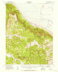
1950 Map of Milford
USGS Topo · Published 1952About this map
Honey Lake dominates the northern landscape of this 1950s survey, its shoreline defining the transition between the high desert basin and the timbered slopes of the Lassen National Forest and Plumas National Forest. The settlement of Milford serves as a small hub along the historic route of Highway 395, while the surrounding terrain is marked by remote ranching and mining operations. Traces of early 20th-century industry are visible at the Honey Lake Mine and Plinco Mine, while family operations like Clark Ranch appear at the base of the mountains. Much of the southern portion of the map is dedicated to the Dixie Mountain State Game Refuge, illustrating the mid-century focus on conservation and forest management. The presence of the Laufman Ranger Sta and numerous fire lookouts atop peaks like Cottonwood Peak reflects the vital role of the Forest Service in this fire-prone interior range.
Find a feature on this map
35 named features on this map. Tap any name to fly to it.
Don’t see what you’re looking for? This feature index may not catch every label — zoom into the map to look around manually.
Map Details
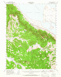
Editions of this 1950 Milford Map
3 editions found
Other maps of this area

1886 · Honey Lake
USGS Topo · 1:250,000

1890 · Sierraville
USGS Topo · 1:125,000

1891 · Downieville
USGS Topo · 1:125,000

1891 · Honey Lake
USGS Topo · 1:250,000

1892 · Sierraville
USGS Topo · 1:125,000

1893 · Honey Lake
USGS Topo · 1:250,000

1893 · Downieville
USGS Topo · 1:125,000

1894 · Sierraville
USGS Topo · 1:125,000

1895 · Downieville
USGS Topo · 1:125,000

1896 · Downieville
USGS Topo · 1:125,000