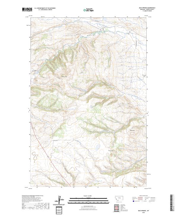
2024 Map of Milk Springs
USGS Topo · Published 2024About this map
Milk Springs anchors this high-plains landscape in eastern Fergus County, where a complex network of intermittent drainages defines the local geography. The area is characterized by distinct topographical landmarks like Button Butte and Bald Butte, which rise above the surrounding drainages of North Fork Elk Creek and Yellow Water Creek. These waterways, along with Bender Creek and Snouse Creek, illustrate the seasonal water patterns essential to life in this part of Montana.
Find a feature on this map
20 named features on this map. Tap any name to fly to it.
Don’t see what you’re looking for? This feature index may not catch every label — zoom into the map to look around manually.
Map Details
Editions of this 2024 Milk Springs Map
This is the sole edition of this map. No revisions or reprints were ever made.
Other maps of this area

1954 · Roundup
USGS Topo · 1:250,000

1954 · Lewistown
USGS Topo · 1:250,000

1958 · Roundup
USGS Topo · 1:250,000

1959 · Lewistown
USGS Topo · 1:250,000

1986 · Tyler
USGS Topo · 1:24,000

1986 · Snoose Creek
USGS Topo · 1:24,000

1986 · Briggs Coulee
USGS Topo · 1:24,000

1986 · Pike Creek Hills West
USGS Topo · 1:24,000

1986 · Pike Creek Hills East
USGS Topo · 1:24,000
1986 · Grass Range
USGS Topo · 1:24,000