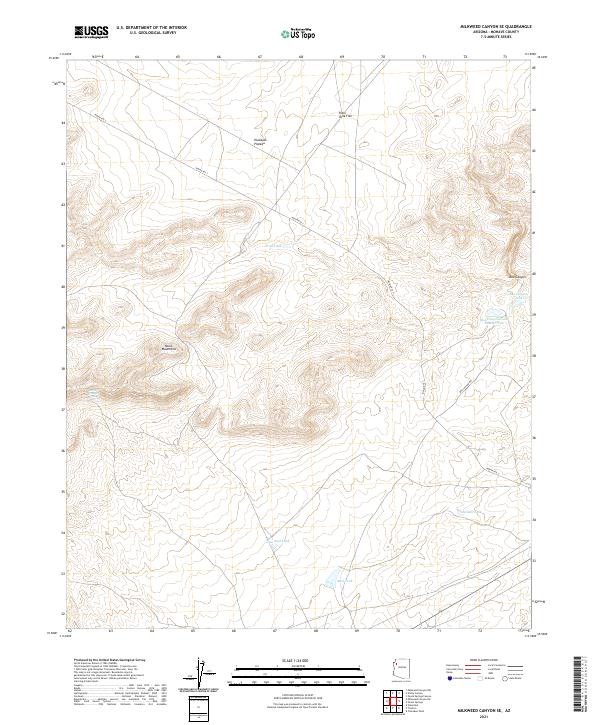
2021 Map of Milkweed Canyon SE
USGS Topo · Published 2021About this map
The Music Mountains and the high Hualapai Plateau dominate this portion of Mohave County, where the landscape is defined by the critical need for water management in an arid environment. A network of man-made and natural water sources spans the terrain, including Trail Tank, New Mud Tank, and the remote Horse Trough Spring. These features, along with Nelson Tank and the Box Canyon Tank Number Two, highlight the historical and contemporary infrastructure required for livestock or wildlife survival on the plateau.
Find a feature on this map
19 named features on this map. Tap any name to fly to it.
Don’t see what you’re looking for? This feature index may not catch every label — zoom into the map to look around manually.
Map Details
Editions of this 2021 Milkweed Canyon SE Map
This is the sole edition of this map. No revisions or reprints were ever made.
Other maps of this area

1886 · Diamond Creek
USGS Topo · 1:250,000

1892 · Diamond Creek
USGS Topo · 1:250,000

1948 · Williams
USGS Topo · 1:250,000

1954 · Williams
USGS Topo · 1:250,000

1956 · Williams
USGS Topo · 1:250,000

1960 · Williams
USGS Topo · 1:250,000

1961 · Williams
USGS Topo · 1:250,000
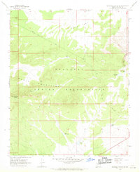
1967 · Milkweed Canyon SE
USGS Topo · 1:24,000

1967 · Milkweed Canyon SW
USGS Topo · 1:24,000

1967 · Peach Springs
USGS Topo · 1:24,000