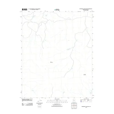
2011 Map of Milkweed Canyon SW
USGS Topo · Published 2011About this map
Music Mountains dominate this high-desert landscape in northern Arizona, where the topography is defined by significant elevation changes and seasonal water sources. The map highlights a series of essential springs and tanks used for livestock or survival in this arid terrain, including Milkweed Spring, West Water Spring, and the curiously named Dewey Mahone Spring. The central portion of the quadrangle is largely undeveloped, marked primarily by the Bear Canyon Two Hundred Ninety-Nine Trail which provides access through the rugged foothills. To the east, the prominent Laughing Jack Butte stands as a distinct landmark, while cattle tanks like Boston Tank and Quail Tank indicate the region's continued importance for ranching. This 2011 survey captures the area before modern expansion, preserving the names of remote watering holes such as Black Rock Spring and Flat Rock Spring.
Find a feature on this map
11 named features on this map. Tap any name to fly to it.
Don’t see what you’re looking for? This feature index may not catch every label — zoom into the map to look around manually.
Map Details
Editions of this 2011 Milkweed Canyon SW Map
This is the sole edition of this map. No revisions or reprints were ever made.
Other maps of this area

1886 · Diamond Creek
USGS Topo · 1:250,000

1892 · Diamond Creek
USGS Topo · 1:250,000

1948 · Williams
USGS Topo · 1:250,000

1954 · Williams
USGS Topo · 1:250,000

1956 · Williams
USGS Topo · 1:250,000

1960 · Williams
USGS Topo · 1:250,000

1961 · Williams
USGS Topo · 1:250,000
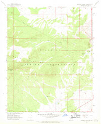
1967 · Milkweed Canyon SE
USGS Topo · 1:24,000

1967 · Milkweed Canyon SW
USGS Topo · 1:24,000
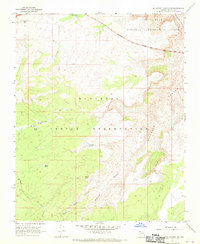
1967 · Milkweed Canyon NW
USGS Topo · 1:24,000