Loading...
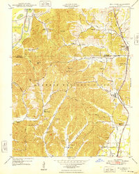
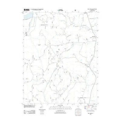
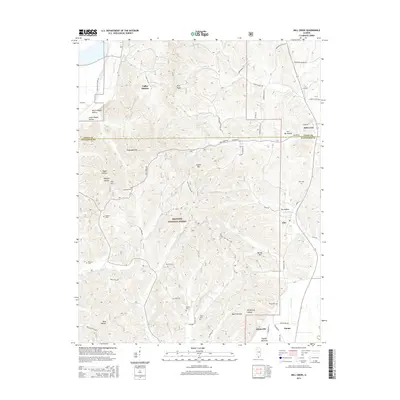
Loading map...1948 Map of Mill Creek
USGS Topo · Published 1948About this map
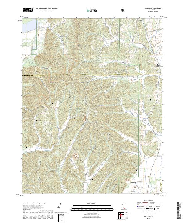
The rugged boundary between Union and Alexander Counties is defined by a dense network of hollows and ridges within the Shawnee National Forest. In the late 1940s, this landscape was a mosaic of rural school districts and small family cemeteries, including McDaniel Sch, Gauble Sch, and the McClure Cem. The industrial and social life of the region follows the Gulf Mobile and Ohio railroad corridor, which connects the villages of Mill Creek, Elco, and Tamms.
Find a feature on this map
52 named features on this map. Tap any name to fly to it.
Don’t see what you’re looking for? This feature index may not catch every label — zoom into the map to look around manually.
Map Details
Date Portrayed1948
Date Published1948
PublisherU.S. Geological Survey
Map TypeTopographic
Scale1:24,000
Physical Dimensions21.5 x 26.8 inches
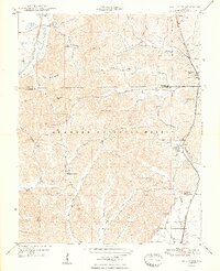
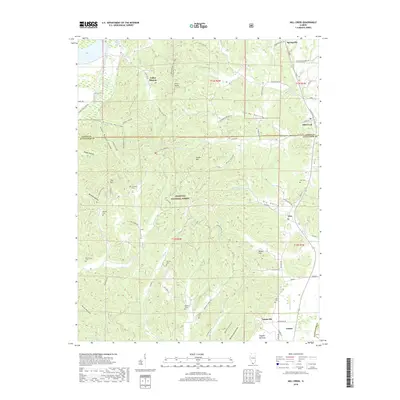
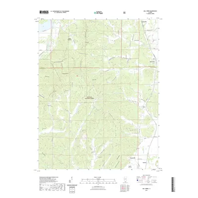
Editions of this 1948 Mill Creek Map
2 editions found
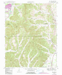
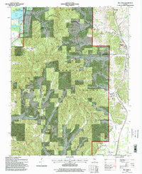
Historical Maps of Tamms Through Time
8 maps found
Featured Locations
Source Details
SourceU.S. Geological Survey
CopyrightPublic Domain