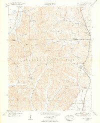
1948 Map of Mill Creek
USGS Topo · Published 1948About this map
Shawnee National Forest dominates the central portion of this 1948 topographic study, where the rugged ridges of Southern Illinois meet the lowlands of Hogskin Bottoms. The Gulf Mobile and Ohio railroad serves as a vital corridor through the eastern edge, connecting the small settlements of Mill Creek, Elco, and Tamms. This era shows a landscape deeply rooted in rural community life, marked by numerous small schools such as Lylerle Sch, Gauble Sch, and Hazelwood School. The topography is defined by intricate drainage patterns like Clear Creek Ditch and family-named hollows, while prominent landmarks like the Bass Hill Lookout Tower provide vantage points over Dago Hill and Vick Hill. Genealogists will find a wealth of data in the many family and community burial grounds, including Honey Cem, McClure Cem, and Palmer Cem, often situated near remote churches like Pleasant Valley Ch.
Find a feature on this map
51 named features on this map. Tap any name to fly to it.
Don’t see what you’re looking for? This feature index may not catch every label — zoom into the map to look around manually.
Map Details
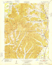
Editions of this 1948 Mill Creek Map
2 editions found
Other maps of this area

1920 · Jonesboro
USGS Topo · 1:62,500

1920 · Dongola
USGS Topo · 1:62,500

1923 · Dongola
USGS Topo · 1:62,500

1923 · Jonesboro
USGS Topo · 1:62,500

1931 · Cairo
USGS Topo · 1:62,500

1933 · Cairo
USGS Topo · 1:62,500

1934 · Thebes
USGS Topo · 1:62,500

1939 · Cairo
USGS Topo · 1:62,500

1939 · Thebes
USGS Topo · 1:62,500

1947 · Jonesboro
USGS Topo · 1:62,500