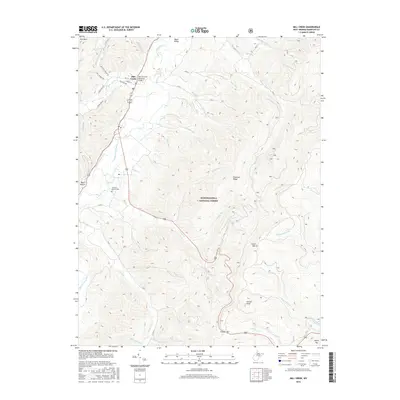
2016 Map of Mill Creek
USGS Topo · Published 2016About this map
Mill Creek serves as the primary settlement on this West Virginia landscape, situated where the WM Currence Memorial Bridge crosses the Tygart Valley River. The map illustrates a transitional zone between the river valley's bottomlands and the rising high-elevation terrain of the Monongahela National Forest. Significant local elevations include Cheat Mtn, Hutton Knob, and Cromer Top, which divide various drainages such as Riffle Cr and Shavers Fork. For those researching regional genealogy or burial sites, the Old Brick Church Cem is a prominent landmark located west of the river. The network of secondary roads, including the Helvetia-Adolph Rd and Jerusalem Rd, indicates the winding transportation routes necessary to navigate the steep ridges of Rich Mtn and Chestnut Ridge in this part of Randolph County.
Find a feature on this map
44 named features on this map. Tap any name to fly to it.
Don’t see what you’re looking for? This feature index may not catch every label — zoom into the map to look around manually.
Map Details
Editions of this 2016 Mill Creek Map
This is the sole edition of this map. No revisions or reprints were ever made.
Other maps of this area

1889 · Beverly
USGS Topo · 1:125,000

1892 · Beverly
USGS Topo · 1:125,000

1893 · Buckhannon
USGS Topo · 1:125,000

1896 · Buckhannon
USGS Topo · 1:125,000

1897 · Buckhannon
USGS Topo · 1:125,000

1909 · Elkins
USGS Topo · 1:62,500

1912 · Sago
USGS Topo · 1:48,000

1913 · Pickens
USGS Topo · 1:48,000

1914 · Sago
USGS Topo · 1:62,500

1915 · Pickens
USGS Topo · 1:62,500