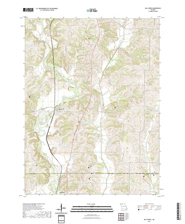
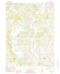
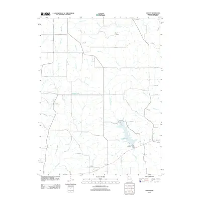
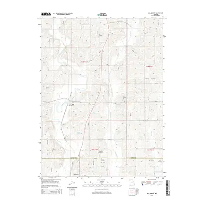
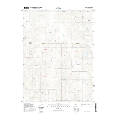
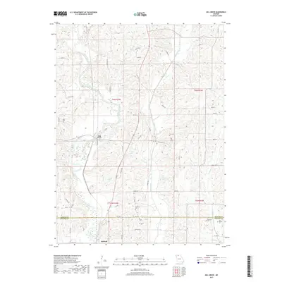
2021 Map of Mill Grove
USGS Topo · Published 2021About this map
Weldon River and Muddy Creek define the agricultural landscape of this region along the border of Mercer and Grundy counties. The settlement of Mill Grove sits at a central bend in the river, while Spickard anchors the southwestern corner of the quadrangle. This area is characterized by a high density of small family and community burial grounds, providing significant data for genealogical research.
Find a feature on this map
59 named features on this map. Tap any name to fly to it.
Don’t see what you’re looking for? This feature index may not catch every label — zoom into the map to look around manually.
Map Details
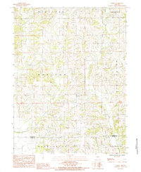
Editions of this 2021 Mill Grove Map
This is the sole edition of this map. No revisions or reprints were ever made.
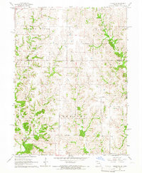
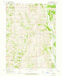
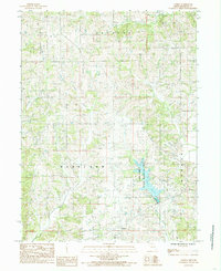
Historical Maps of Spickard Through Time
26 maps found
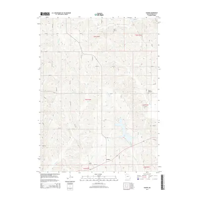
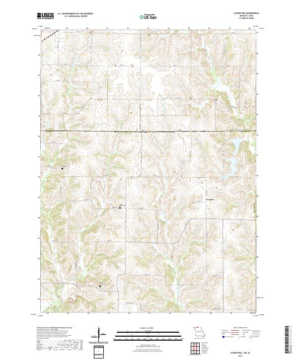
1964 Cleopatra
Mercer County, MO
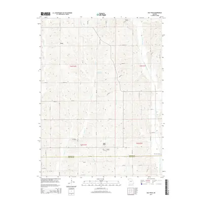
1964 Half Rock
Mercer County, MO
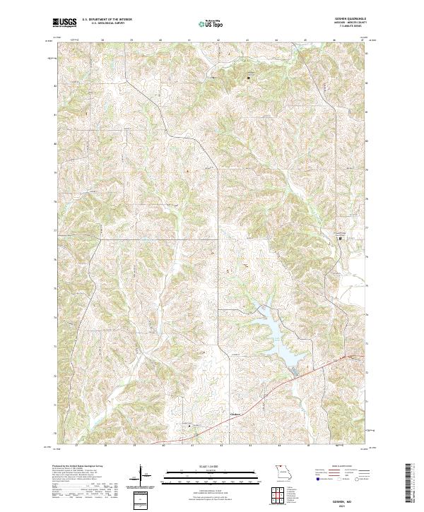
1984 Goshen
Mercer County, MO
1984 Mill Grove
Mercer County, MO
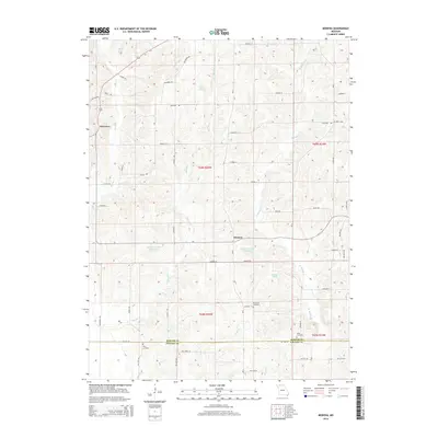
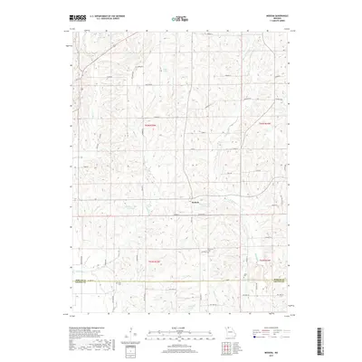
1984 Modena
Mercer County, MO
2010 Cleopatra
Mercer County, MO
2012 Cleopatra
Mercer County, MO
2012 Goshen
Mercer County, MO
2012 Half Rock
Mercer County, MO
2012 Mill Grove
Mercer County, MO
2012 Modena
Mercer County, MO
2014 Goshen
Mercer County, MO
2014 Half Rock
Mercer County, MO
2014 Mill Grove
Mercer County, MO
2014 Modena
Mercer County, MO
2015 Cleopatra
Mercer County, MO
2017 Cleopatra
Mercer County, MO
2017 Goshen
Mercer County, MO
2017 Half Rock
Mercer County, MO
2017 Mill Grove
Mercer County, MO
2017 Modena
Mercer County, MO
2021 Cleopatra
Mercer County, MO
2021 Goshen
Mercer County, MO
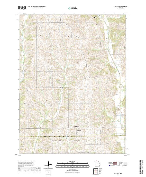
2021 Half Rock
Mercer County, MO
2021 Mill Grove
Mercer County, MO
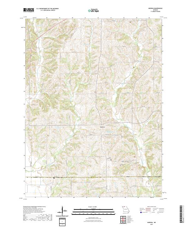
2021 Modena
Mercer County, MO