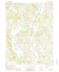
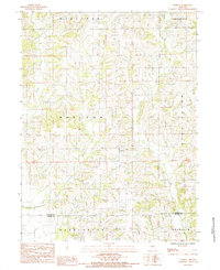
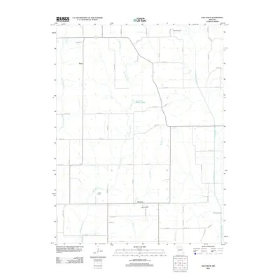
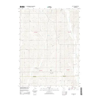
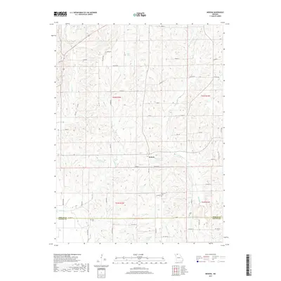
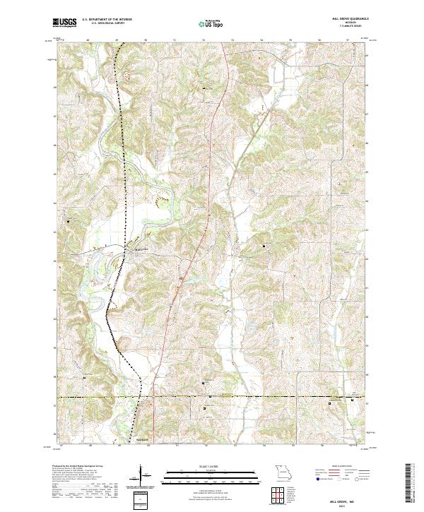
1984 Map of Mill Grove
USGS Topo · Published 1985About this map
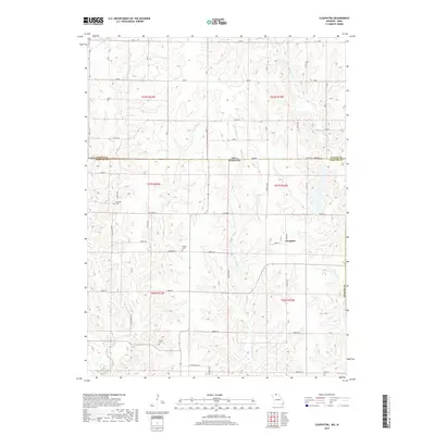
The Weldon River carves a winding path through the northern Missouri landscape in the mid-1980s, marking a region defined by its watercourses and rural townships. The settlement of Mill Grove occupies a central position along the river's western banks, serving as a focal point for the surrounding farms of Washington and Morgan townships. Further south, the boundary between Mercer and Grundy Counties cuts across the terrain, where the edge of Spickard appears.
Find a feature on this map
14 named features on this map. Tap any name to fly to it.
Don’t see what you’re looking for? This feature index may not catch every label — zoom into the map to look around manually.
Map Details
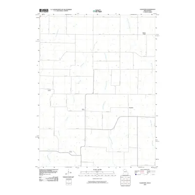
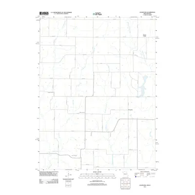
Editions of this 1984 Mill Grove Map
This is the sole edition of this map. No revisions or reprints were ever made.
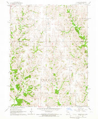
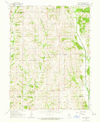
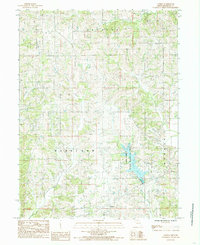
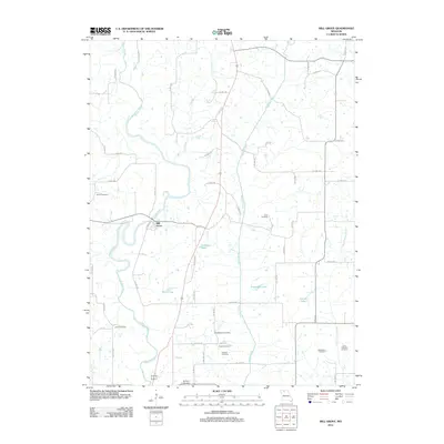
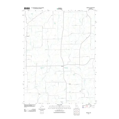
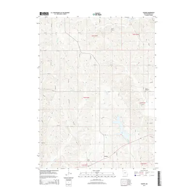
Historical Maps of Spickard Through Time
26 maps found
1964 Cleopatra
Mercer County, MO
1964 Half Rock
Mercer County, MO
1984 Goshen
Mercer County, MO
1984 Mill Grove
Mercer County, MO
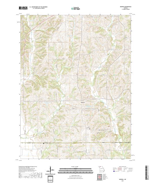
1984 Modena
Mercer County, MO
2010 Cleopatra
Mercer County, MO
2012 Cleopatra
Mercer County, MO
2012 Goshen
Mercer County, MO
2012 Half Rock
Mercer County, MO
2012 Mill Grove
Mercer County, MO
2012 Modena
Mercer County, MO
2014 Goshen
Mercer County, MO
2014 Half Rock
Mercer County, MO
2014 Mill Grove
Mercer County, MO
2014 Modena
Mercer County, MO
2015 Cleopatra
Mercer County, MO
2017 Cleopatra
Mercer County, MO
2017 Goshen
Mercer County, MO
2017 Half Rock
Mercer County, MO
2017 Mill Grove
Mercer County, MO
2017 Modena
Mercer County, MO
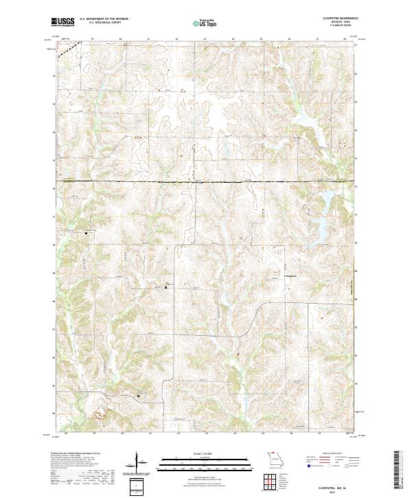
2021 Cleopatra
Mercer County, MO
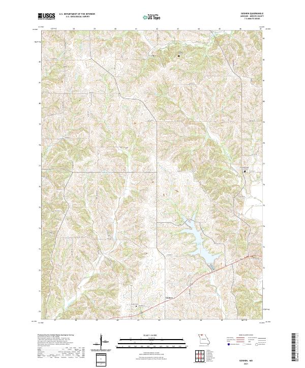
2021 Goshen
Mercer County, MO
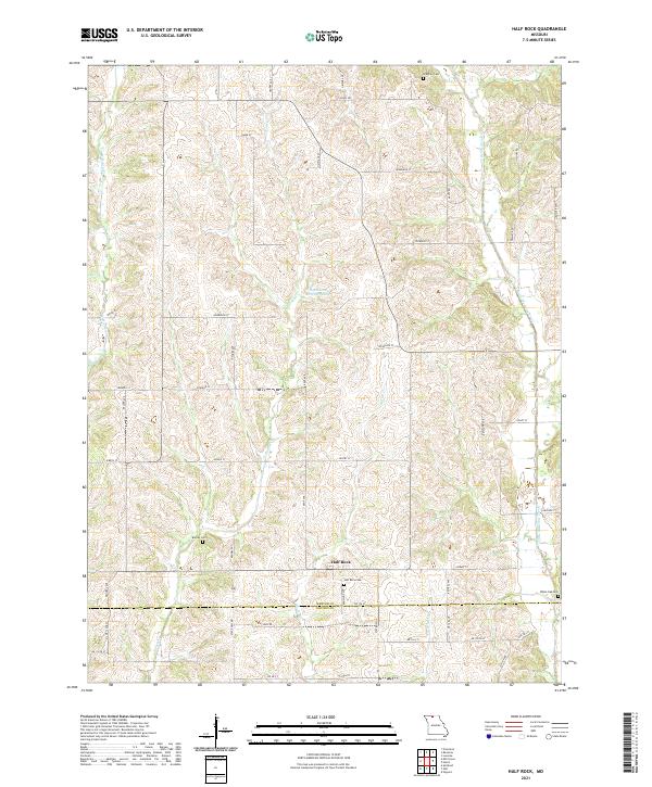
2021 Half Rock
Mercer County, MO
2021 Mill Grove
Mercer County, MO
2021 Modena
Mercer County, MO