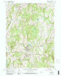
1960 Map of Millbrook
USGS Topo · Published 1988About this map
Millbrook and South Millbrook serve as the central hubs of this Dutchess County landscape, characterized by a network of winding country roads and institutional landmarks. Higher education and local services are prominent, shown through the campus of Bennett College and nearby St Josephs Sch, alongside the Convalescent Home and County Home. The terrain is defined by distinct ridges and hollows, such as The Hogback and Chestnut Ridge, which dictate the drainage of Wappinger Creek and its many tributaries. North of the main settlements, the rural character is punctuated by smaller hamlets like Stanfordville and Bangall. Genealogists will find significant value in the detailed locations of local burying grounds, including Stanford Cem, Nine Partners Cem, and Haight Cem. The eastern portion of the map transitions into more secluded areas near Mutton Hollow and Butts Hollow, while the Taconic State Parkway provides a modern transit artery through the western hills.
Find a feature on this map
71 named features on this map. Tap any name to fly to it.
Don’t see what you’re looking for? This feature index may not catch every label — zoom into the map to look around manually.
Map Details
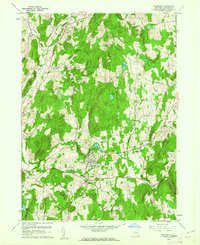
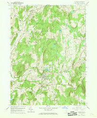
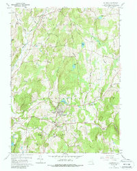
Editions of this 1960 Millbrook Map
4 editions found
Other maps of this area

1893 · Clove
USGS Topo · 1:62,500

1893 · Poughkeepsie
USGS Topo · 1:62,500

1894 · Clove
USGS Topo · 1:62,500

1894 · Poughkeepsie
USGS Topo · 1:62,500

1898 · Clove
USGS Topo · 1:62,500

1898 · Rhinebeck
USGS Topo · 1:62,500

1899 · Millbrook
USGS Topo · 1:62,500

1901 · Clove
USGS Topo · 1:62,500

1902 · Millbrook
USGS Topo · 1:62,500

1903 · Poughkeepsie
USGS Topo · 1:62,500