
1912 Map of Milledgeville
USGS Topo · Published 1912About this map
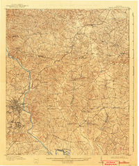
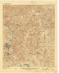
The Oconee River serves as the central artery for this central Georgia landscape, where the former state capital of Milledgeville anchors a region of diverse social and industrial institutions. The sprawling complex of the State Sanitarium and its dedicated Asylum Sta highlight the town's historical role as a center for state administration. Beyond the urban grid, the map reveals a rural economy dependent on water power and rail transit, seen in features like Coleman Mill and the Georgia Railroad which connects smaller settlements like Devereux and Carrs Station.
Find a feature on this map
77 named features on this map. Tap any name to fly to it.
Don’t see what you’re looking for? This feature index may not catch every label — zoom into the map to look around manually.
Map Details
Editions of this 1912 Milledgeville Map
3 editions found
Other maps of this area

1916 · Irwinton
USGS Topo · 1:62,500

1920 · Irwinton
USGS Topo · 1:62,500

1953 · Athens
USGS Topo · 1:250,000

1956 · Gordon
USGS Topo · 1:62,500

1957 · Macon
USGS Topo · 1:250,000

1958 · Macon
USGS Topo · 1:250,000

1958 · Athens
USGS Topo · 1:250,000

1959 · Athens
USGS Topo · 1:250,000

1961 · Deepstep
USGS Topo · 1:24,000

1961 · Warthen NW
USGS Topo · 1:24,000