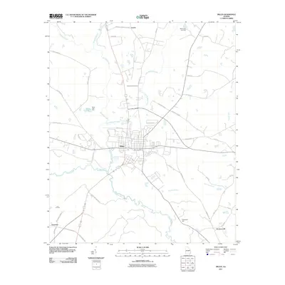
2011 Map of Millen
USGS Topo · Published 2011About this map
Millen serves as the focal point of this region, situated where several transportation corridors intersect north of the Ogeechee River. The town's grid is well-defined, containing the Millen Post Office and providing access to the sprawling natural landscape of Magnolia Springs State Park to the north. The surrounding countryside is marked by smaller settlements like Lawton, Emmalane, and Paramore Hill, each connected by a network of rural routes such as Old Louisville Rd and Old Midville Rd.
Find a feature on this map
48 named features on this map. Tap any name to fly to it.
Don’t see what you’re looking for? This feature index may not catch every label — zoom into the map to look around manually.
Map Details
Editions of this 2011 Millen Map
This is the sole edition of this map. No revisions or reprints were ever made.
Other maps of this area

1920 · Millen
USGS Topo · 1:62,500

1921 · Rocky Ford
USGS Topo · 1:62,500

1943 · Rocky Ford
USGS Topo · 1:62,500

1943 · Millen
USGS Topo · 1:62,500

1943 · Millen
USGS Topo · 1:125,000

1947 · Savannah
USGS Topo · 1:250,000

1948 · Savannah
USGS Topo · 1:250,000

1957 · Macon
USGS Topo · 1:250,000

1957 · Savannah
USGS Topo · 1:250,000

1958 · Macon
USGS Topo · 1:250,000