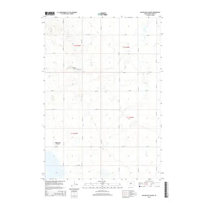
2015 Map of Miller Dale Colony
USGS Topo · Published 2015About this map
Miller Dale Colony stands as the primary cultural anchor in this portion of Hand County, illustrating the enduring presence of communal agricultural settlements on the South Dakota prairie. The landscape is defined by the wandering course of Ree Cr, which meanders across several townships including t112n r68w and t111n r68w. A sparse but structured grid of section-line roads, such as 206th ST and 354th Ave, organizes the vast agricultural tracts. The terrain is marked by subtle drainage features like Campbell Gulch, providing a detailed look at the local topography before it reaches the more established waterways. This 2015 survey reflects the modern rural infrastructure of the region, where gravel roads and residential clusters at the colony represent the intersection of tradition and contemporary land use.
Find a feature on this map
21 named features on this map. Tap any name to fly to it.
Don’t see what you’re looking for? This feature index may not catch every label — zoom into the map to look around manually.
Map Details
Editions of this 2015 Miller Dale Colony Map
This is the sole edition of this map. No revisions or reprints were ever made.
Other maps of this area

1899 · Redfield
USGS Topo · 1:125,000

1949 · Vayland SW
USGS Topo · 1:24,000

1950 · Ree Heights SE
USGS Topo · 1:24,000

1950 · Vayland NW
USGS Topo · 1:24,000

1950 · Ree Heights
USGS Topo · 1:24,000

1951 · Vayland SW
USGS Topo · 1:24,000

1953 · Huron
USGS Topo · 1:250,000

1954 · Huron
USGS Topo · 1:250,000

1967 · Miller
USGS Topo · 1:24,000

1973 · Ames
USGS Topo · 1:24,000