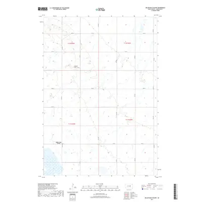
2017 Map of Miller Dale Colony
USGS Topo · Published 2017About this map
The Miller Dale Colony anchors this portion of Hand County, illustrating a late-twentieth-century Hutterite settlement pattern in the South Dakota plains. The landscape is defined by the winding course of Ree Cr and the topographical depression of Campbell Gulch. The map reveals a strictly organized section-line road network, where routes like 206th St and 354th Ave form the primary infrastructure for agricultural transport. This survey reflects the persistence of communal agricultural colonies in the region, showing the specific cluster of structures and localized water features that support their self-sufficient economy. Outside the immediate settlement, the terrain is characterized by numerous small prairie potholes and seasonal wetlands, typical of the glaciated plains, which are bisected by the county road system including Co Rd 6 and Co Rd 26.
Find a feature on this map
20 named features on this map. Tap any name to fly to it.
Don’t see what you’re looking for? This feature index may not catch every label — zoom into the map to look around manually.
Map Details
Editions of this 2017 Miller Dale Colony Map
This is the sole edition of this map. No revisions or reprints were ever made.
Other maps of this area

1899 · Redfield
USGS Topo · 1:125,000

1949 · Vayland SW
USGS Topo · 1:24,000

1950 · Ree Heights SE
USGS Topo · 1:24,000

1950 · Vayland NW
USGS Topo · 1:24,000

1950 · Ree Heights
USGS Topo · 1:24,000

1951 · Vayland SW
USGS Topo · 1:24,000

1953 · Huron
USGS Topo · 1:250,000

1954 · Huron
USGS Topo · 1:250,000

1967 · Miller
USGS Topo · 1:24,000

1973 · Ames
USGS Topo · 1:24,000