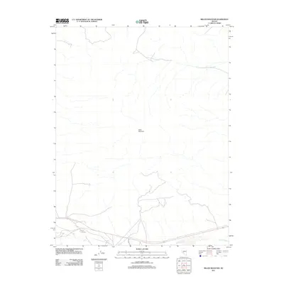
2011 Map of Miller Mountain
USGS Topo · Published 2011About this map
Miller Mountain dominates this portion of the high Nevada desert, providing a prominent landmark for travelers and surveyors navigating Esmeralda County. The landscape is defined by the high-elevation terrain and the seasonal drainage of Pinchot Creek, which cuts through the southern section of the quadrangle. A network of unimproved roads and four-wheel-drive trails crisscrosses the arid flats and slopes, reflecting the sparse, utilitarian transport patterns typical of this remote region in the early twenty-first century. These paths serve as the primary conduits through the basin and range environment, connecting isolated points across the dry wash and rugged uplands.
Find a feature on this map
2 named features on this map. Tap any name to fly to it.
Don’t see what you’re looking for? This feature index may not catch every label — zoom into the map to look around manually.
Map Details
Editions of this 2011 Miller Mountain Map
This is the sole edition of this map. No revisions or reprints were ever made.
Other maps of this area

1909 · Hawthorne
USGS Topo · 1:250,000

1911 · Hawthorne
USGS Topo · 1:250,000

1915 · Hawthorne
USGS Topo · 1:250,000

1917 · White Mountain
USGS Topo · 1:125,000

1947 · Mariposa
USGS Topo · 1:250,000

1948 · Walker Lake
USGS Topo · 1:250,000

1948 · Mariposa
USGS Topo · 1:250,000

1957 · Walker Lake
USGS Topo · 1:250,000

1957 · Mariposa
USGS Topo · 1:250,000

1962 · Walker Lake
USGS Topo · 1:250,000