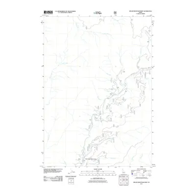
2011 Map of Miller Mountain West
USGS Topo · Published 2011About this map
Long Creek Summit Home serves as a singular point of human habitation within this complex drainage basin in Valley County, Idaho. The landscape is defined by an intricate network of waterways, where the headwaters of No Man Creek and Whitehawk Creek flow through the northern reaches. The area's infrastructure is dominated by forest access routes, most notably Bear Valley Rd and Clear Creek Rd, which trace the winding paths of their namesake streams. These roads reveal the historical reliance on natural corridors for transit through the mountain interior. Further south, Long Creek and its associated Long Creek Rd illustrate the typical 20th-century development pattern of maintaining remote summit outposts. The concentration of named features like Ferry Creek, Big Spruce Creek, and O'Keefe Creek highlights the significance of individual drainages for navigation and land management in this Idaho backcountry.
Find a feature on this map
29 named features on this map. Tap any name to fly to it.
Don’t see what you’re looking for? This feature index may not catch every label — zoom into the map to look around manually.
Map Details
Editions of this 2011 Miller Mountain West Map
This is the sole edition of this map. No revisions or reprints were ever made.
Other maps of this area

1891 · Bear Valley
USGS Topo · 1:125,000

1893 · Bear Valley
USGS Topo · 1:125,000

1909 · Garden Valley
USGS Topo · 1:125,000

1953 · Deadwood Reservoir
USGS Topo · 1:62,500

1957 · Challis
USGS Topo · 1:250,000

1960 · Challis
USGS Topo · 1:250,000

1963 · Challis
USGS Topo · 1:250,000

1972 · Cache Creek
USGS Topo · 1:24,000
1972 · Miller Mtn East
USGS Topo · 1:24,000

1972 · Scott Creek
USGS Topo · 1:24,000