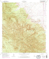
1958 Map of Miller Peak
USGS Topo · Published 1978About this map
Fort Huachuca Military Reservation dominates the northern reaches of this landscape, where deep canyons like Woodcutters Canyon and Garden Canyon carve into the high ridges. This 1958 survey, revised with mid-1970s data, reveals an area defined by mountain extraction and isolated ranching outposts. The steep slopes of the Coronado National Forest are marked by a significant mining history, including the Reef Mine and its associated tramway, as well as the Wakefield Mine near Wakefield Camp.
Find a feature on this map
72 named features on this map. Tap any name to fly to it.
Don’t see what you’re looking for? This feature index may not catch every label — zoom into the map to look around manually.
Map Details
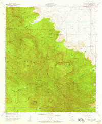
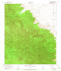
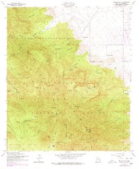
Editions of this 1958 Miller Peak Map
4 editions found
Other maps of this area

1914 · Hereford
USGS Topo · 1:125,000

1915 · Benson
USGS Topo · 1:125,000

1922 · Sunnyside
USGS Topo · 1:62,500

1932 · Stark
USGS Topo · 1:62,500

1932 · Fairbank
USGS Topo · 1:62,500

1938 · Huachuca
USGS Topo · 1:62,500

1938 · Sunnyside
USGS Topo · 1:62,500

1943 · Benson
USGS Topo · 1:125,000

1948 · Huachuca Peak
USGS Topo · 1:24,000

1948 · Miller Peak
USGS Topo · 1:24,000
Featured Places
- Sierra Vista, AZ
- Bledsoe, Sierra Vista
- Ramsey, Sierra Vista
- Sierra Vista Estates, Sierra Vista
- Cochise County, AZ