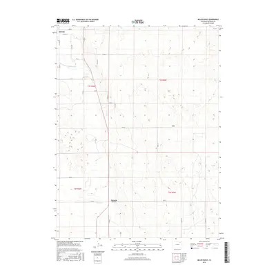
2016 Map of Miller Ranch
USGS Topo · Published 2016About this map
Beaver Cr meanders through this agricultural landscape south of Brush, defining the drainage patterns of eastern Morgan County. The map details a strictly organized grid of county roads, including Co RD R and Co RD K, which facilitate movement between rural homesteads and cattle operations like the Miller Ranch. This survey captures the critical intersection at Ninemile Corner, a local landmark that anchors the surrounding township structure of T3N and T2N. The presence of the Upper Platte and Beaver Canal in the northwest corner highlights the importance of water management in sustaining the region's ranching and farming economy during the mid-2010s.
Find a feature on this map
18 named features on this map. Tap any name to fly to it.
Don’t see what you’re looking for? This feature index may not catch every label — zoom into the map to look around manually.
Map Details
Editions of this 2016 Miller Ranch Map
This is the sole edition of this map. No revisions or reprints were ever made.
Other maps of this area

1951 · Brush West
USGS Topo · 1:24,000

1951 · Merino SW
USGS Topo · 1:24,000

1951 · Brush East
USGS Topo · 1:24,000

1954 · Sterling
USGS Topo · 1:250,000

1958 · Sterling
USGS Topo · 1:250,000

1963 · Round Top
USGS Topo · 1:24,000

1965 · Gary
USGS Topo · 1:24,000

1965 · Huey Ranch
USGS Topo · 1:24,000

1965 · Miller Ranch
USGS Topo · 1:24,000

1971 · Brush East
USGS Topo · 1:24,000