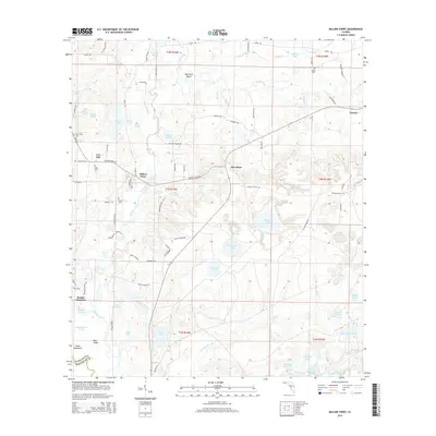
2015 Map of Millers Ferry
USGS Topo · Published 2015About this map
Holmes Creek defines the central geography of this Florida panhandle landscape, winding through a complex network of wetlands and sloughs. Small settlements like Millers Ferry, New Hope, and Live Oak anchor the local community, connected by a network of rural roads such as Millers Ferry Rd and Live Oak Landing Rd. The terrain is characterized by numerous small bodies of water and marshy areas, including Warmouth Lake, Big Brushy Lake, and the distinctive Evans Slough.
Find a feature on this map
97 named features on this map. Tap any name to fly to it.
Don’t see what you’re looking for? This feature index may not catch every label — zoom into the map to look around manually.
Map Details
Editions of this 2015 Millers Ferry Map
This is the sole edition of this map. No revisions or reprints were ever made.
Other maps of this area

1944 · Crystal Lake
USGS Topo · 1:24,000

1944 · Bruce
USGS Topo · 1:24,000

1945 · Red Head
USGS Topo · 1:31,680

1945 · Bruce
USGS Topo · 1:31,680

1945 · Crystal Lake
USGS Topo · 1:31,680

1948 · Ponce De Leon
USGS Topo · 1:24,000

1949 · Millers Ferry
USGS Topo · 1:24,000

1949 · Redbay
USGS Topo · 1:24,000

1949 · Hinsons Cross Roads
USGS Topo · 1:24,000

1950 · Millers Ferry
USGS Topo · 1:24,000