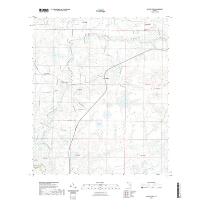
2021 Map of Millers Ferry
USGS Topo · Published 2021About this map
Holmes Creek winds through the heart of this Florida panhandle landscape, defining the boundaries of local life and the natural environment. Small settlements such as New Hope, Live Oak, and the eponymous Millers Ferry are connected by a network of rural routes like Holmes Valley Rd and George Skipper Rd. The area is densely saturated with ponds and sloughs, including Warmouth Lake, Big Brushy Lake, and Running Lake, illustrating the low-lying, hydrologically active nature of the terrain near the Washington and Walton county line.
Find a feature on this map
103 named features on this map. Tap any name to fly to it.
Don’t see what you’re looking for? This feature index may not catch every label — zoom into the map to look around manually.
Map Details
Editions of this 2021 Millers Ferry Map
This is the sole edition of this map. No revisions or reprints were ever made.
Other maps of this area

1944 · Crystal Lake
USGS Topo · 1:24,000

1944 · Bruce
USGS Topo · 1:24,000

1945 · Red Head
USGS Topo · 1:31,680

1945 · Bruce
USGS Topo · 1:31,680

1945 · Crystal Lake
USGS Topo · 1:31,680

1948 · Ponce De Leon
USGS Topo · 1:24,000

1949 · Millers Ferry
USGS Topo · 1:24,000

1949 · Redbay
USGS Topo · 1:24,000

1949 · Hinsons Cross Roads
USGS Topo · 1:24,000

1950 · Millers Ferry
USGS Topo · 1:24,000