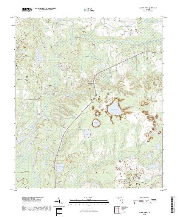
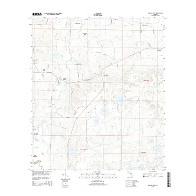
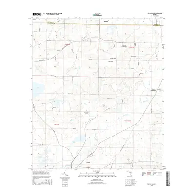
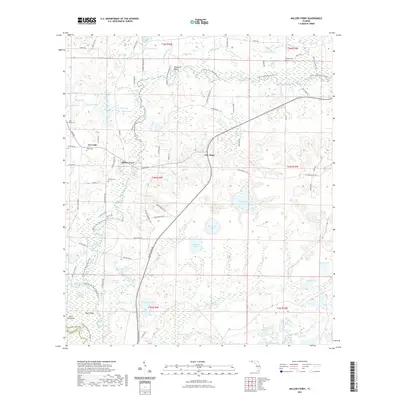
2024 Map of Millers Ferry
USGS Topo · Published 2024About this map
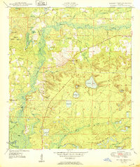
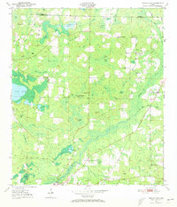
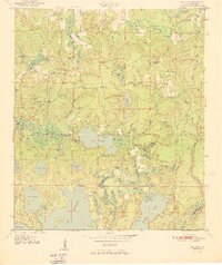
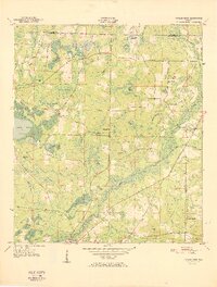
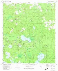
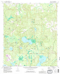
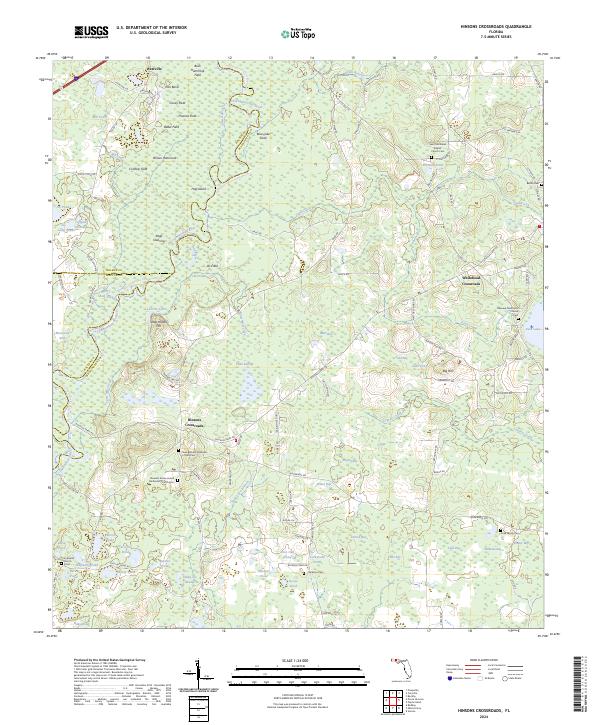
Millers Ferry and the surrounding riverine landscape of the Florida Panhandle are defined by the winding course of Holmes Creek. This drainage basin is a complex network of wetlands and spring-fed features, including Mill Pond, Running Lake, and Warmouth Lake. The map reveals a dispersed settlement pattern characterized by small community centers and several historic burial grounds such as New Hope Methodist Church Cem and the Saint Luke Cem.
Find a feature on this map
104 named features on this map. Tap any name to fly to it.
Don’t see what you’re looking for? This feature index may not catch every label — zoom into the map to look around manually.
Map Details
Editions of this 2024 Millers Ferry Map
This is the sole edition of this map. No revisions or reprints were ever made.
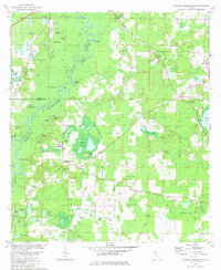
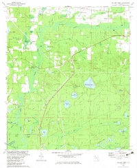
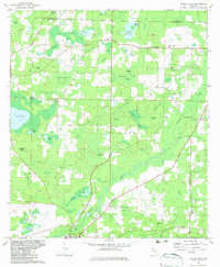
Historical Maps of New Hope Through Time
33 maps found

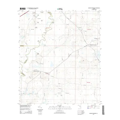
1949 Hinsons Cross Roads
Washington County, FL
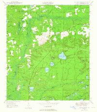
1949 Millers Ferry
Washington County, FL
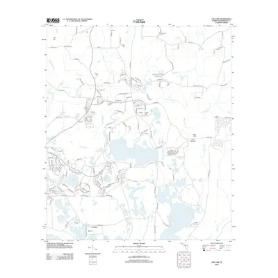
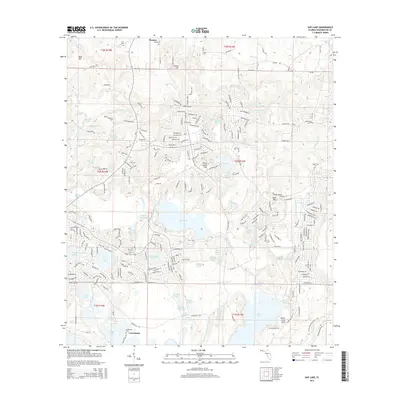
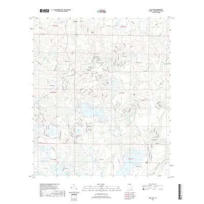
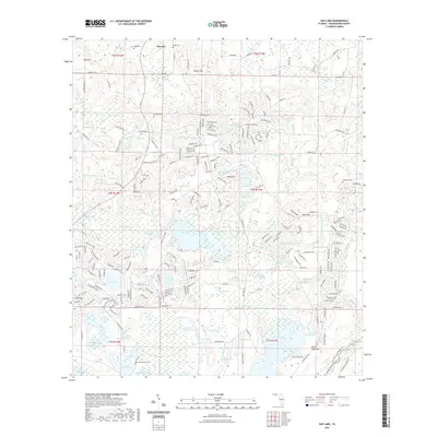
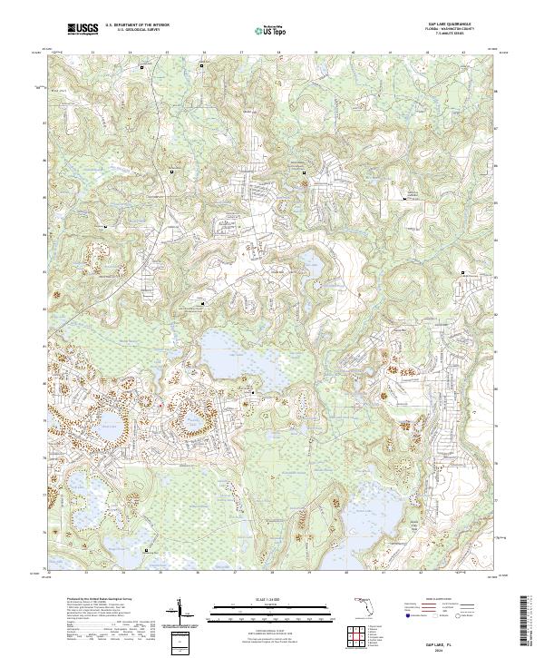
1950 Gap Lake
Washington County, FL
1950 Hinsons Cross Roads
Washington County, FL
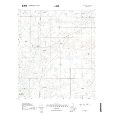
1950 Millers Ferry
Washington County, FL
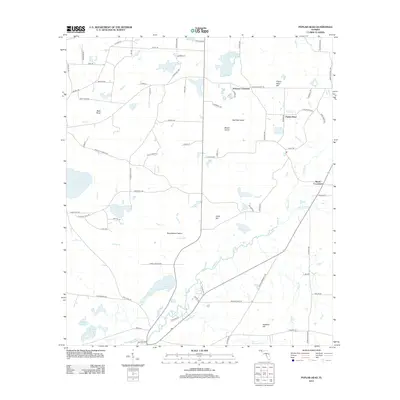
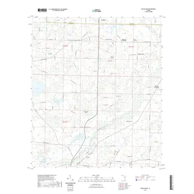
1950 Poplar Head
Washington County, FL
1951 Gap Pond
Washington County, FL
1951 Poplar Head
Washington County, FL
1982 Gap Lake
Washington County, FL
1982 Hinsons Crossroads
Washington County, FL
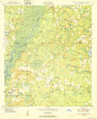
1982 Millers Ferry
Washington County, FL
1982 Poplar Head
Washington County, FL
1994 Gap Lake
Washington County, FL
2012 Gap Lake
Washington County, FL
2012 Hinsons Crossroads
Washington County, FL
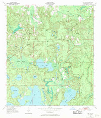
2012 Millers Ferry
Washington County, FL
2012 Poplar Head
Washington County, FL
2015 Gap Lake
Washington County, FL
2015 Hinsons Crossroads
Washington County, FL
2015 Millers Ferry
Washington County, FL
2015 Poplar Head
Washington County, FL
2018 Gap Lake
Washington County, FL
2018 Hinsons Crossroads
Washington County, FL
2018 Millers Ferry
Washington County, FL
2018 Poplar Head
Washington County, FL
2021 Gap Lake
Washington County, FL
2021 Hinsons Crossroads
Washington County, FL
2021 Millers Ferry
Washington County, FL
2021 Poplar Head
Washington County, FL
2024 Gap Lake
Washington County, FL
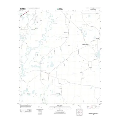
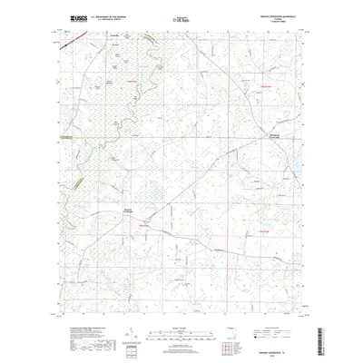
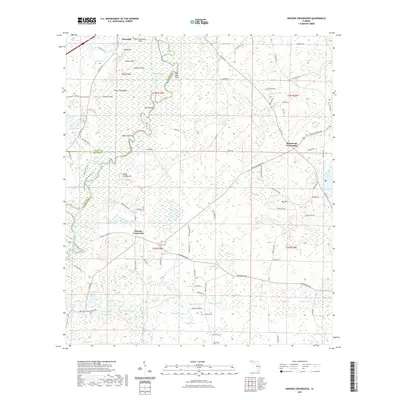
2024 Hinsons Crossroads
Washington County, FL
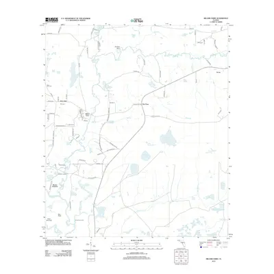
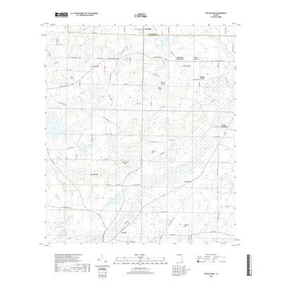
2024 Millers Ferry
Washington County, FL

2024 Poplar Head
Washington County, FL