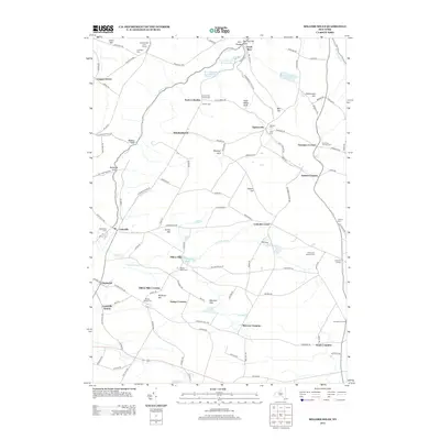
2013 Map of Millers Mills
USGS Topo · Published 2013About this map
Millers Mills and the surrounding hamlets of Herkimer County define this landscape at the headwaters of the Unadilla River. The map reveals a dense network of early settlements and family burial grounds, including the Litchfield Cem and Brown Young Cem, which offer significant value for genealogical research in this part of New York. The terrain is marked by dramatic geological features like Ilion Gorge and several deep "gulfs" such as Beckus Gulf and Passage Gulf. This 2013 survey preserves the locations of vital infrastructure like the Ilion Reservoir Number One and its sister reservoirs, alongside historical transit points like Millers Mills Crossing and Cedarville Station. The alignment of roads like Jordanville Rd and Richfield Hill Rd reflects long-established patterns of travel between these rural communities.
Find a feature on this map
118 named features on this map. Tap any name to fly to it.
Don’t see what you’re looking for? This feature index may not catch every label — zoom into the map to look around manually.
Map Details
Editions of this 2013 Millers Mills Map
This is the sole edition of this map. No revisions or reprints were ever made.
Other maps of this area

1898 · Utica
USGS Topo · 1:62,500

1900 · Little Falls
USGS Topo · 1:62,500

1900 · Utica
USGS Topo · 1:62,500

1903 · Richfield Springs
USGS Topo · 1:62,500

1903 · Little Falls
USGS Topo · 1:62,500

1907 · Winfield
USGS Topo · 1:62,500

1939 · Little Falls
USGS Topo · 1:62,500

1943 · Schuyler Lake
USGS Topo · 1:24,000

1943 · Utica East
USGS Topo · 1:24,000

1943 · Jordanville
USGS Topo · 1:24,000