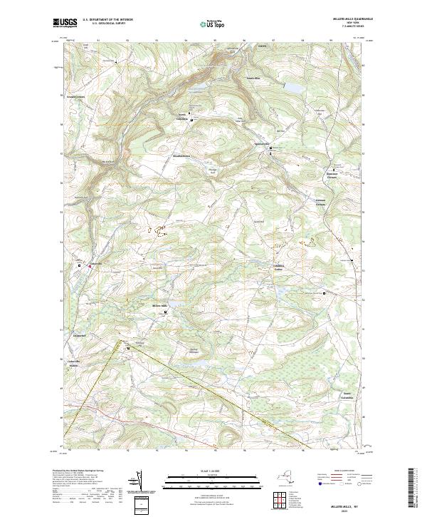
2023 Map of Millers Mills
USGS Topo · Published 2023About this map
Ilion Gorge and the upper reaches of the Unadilla River dominate this Central New York landscape, where the Herkimer and Otsego county line cuts through the southern uplands. The terrain is deeply incised by glacial features, including Beckus Gulf and Passage Gulf, which separate high points like Vickerman Hill and Monkey Mountain. This area is characterized by small, dispersed hamlets such as Millers Mills and North Columbia, each retaining its local identity through landmarks like the North Columbia Church and Millers Mills Cem.
Find a feature on this map
111 named features on this map. Tap any name to fly to it.
Don’t see what you’re looking for? This feature index may not catch every label — zoom into the map to look around manually.
Map Details
Editions of this 2023 Millers Mills Map
This is the sole edition of this map. No revisions or reprints were ever made.
Other maps of this area

1898 · Utica
USGS Topo · 1:62,500

1900 · Little Falls
USGS Topo · 1:62,500

1900 · Utica
USGS Topo · 1:62,500

1903 · Richfield Springs
USGS Topo · 1:62,500

1903 · Little Falls
USGS Topo · 1:62,500

1907 · Winfield
USGS Topo · 1:62,500

1939 · Little Falls
USGS Topo · 1:62,500

1943 · Schuyler Lake
USGS Topo · 1:24,000

1943 · Utica East
USGS Topo · 1:24,000

1943 · Jordanville
USGS Topo · 1:24,000