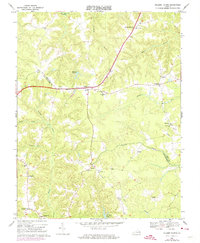
1968 Map of Millers Tavern
USGS Topo · Published 1974About this map
Millers Tavern sits at the heart of this Tidewater landscape, where the boundaries of Essex and King and Queen counties meet amidst a complex network of waterways. The terrain is defined by the winding course of Dragon Run and Dragon Swamp, which create a natural divide between the small agricultural communities. This 1968 survey reveals a deeply rooted rural society centered around neighborhood landmarks, including the John Moncure School and numerous local congregations such as Grace Mission Church and Rock of Ages Church.
Find a feature on this map
41 named features on this map. Tap any name to fly to it.
Don’t see what you’re looking for? This feature index may not catch every label — zoom into the map to look around manually.
Map Details
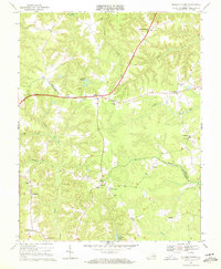
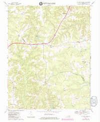
Editions of this 1968 Millers Tavern Map
3 editions found
Other maps of this area

1918 · Tappahannock
USGS Topo · 1:62,500

1918 · Aylett
USGS Topo · 1:62,500

1919 · New Kent
USGS Topo · 1:62,500

1919 · Tappahannock
USGS Topo · 1:62,500

1920 · King William
USGS Topo · 1:62,500

1933 · Aylett
USGS Topo · 1:62,500

1943 · Richmond
USGS Topo · 1:250,000

1944 · Mount Landing
USGS Topo · 1:31,680

1944 · Tappahannock
USGS Topo · 1:31,680

1944 · Dunnsville
USGS Topo · 1:31,680