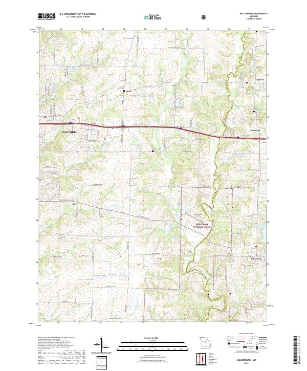
2021 Map of Millersburg
USGS Topo · Published 2021About this map
The eastern periphery of Columbia transitions into the wooded ridges of the Mark Twain National Forest on this 2021 study of the Boone and Callaway county line. This transition zone is defined by numerous small waterways, including Little Cedar Cr and Bonne Femme Cr, that carve through the landscape south of Interstate 70 Dr NE. The map documents a blend of emerging suburban development and established rural landmarks, ranging from the Cedar Creek Airport to scattered homesteads and crossroads.
Find a feature on this map
98 named features on this map. Tap any name to fly to it.
Don’t see what you’re looking for? This feature index may not catch every label — zoom into the map to look around manually.
Map Details
Editions of this 2021 Millersburg Map
This is the sole edition of this map. No revisions or reprints were ever made.
Other maps of this area

1886 · Jefferson City
USGS Topo · 1:125,000

1890 · Moberly
USGS Topo · 1:125,000

1894 · Jefferson City
USGS Topo · 1:125,000

1917 · Sturgeon
USGS Topo · 1:62,500

1935 · Columbia
USGS Topo · 1:24,000

1940 · Columbia
USGS Topo · 1:24,000

1944 · Millersburg
USGS Topo · 1:62,500

1945 · Centralia
USGS Topo · 1:62,500

1946 · Millersburg
USGS Topo · 1:62,500

1947 · Jefferson City
USGS Topo · 1:250,000