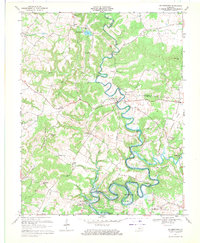
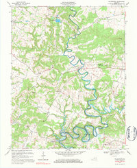
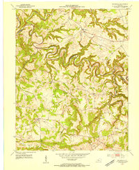
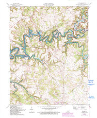
1967 Map of Millerstown
USGS Topo · Published 1971This historical map portrays the area of Millerstown in 1967, primarily covering Grayson County as well as portions of Hardin County and Hart County. Featuring a scale of 1:24000, this map provides a highly detailed snapshot of the terrain, roads, buildings, counties, and historical landmarks in the Millerstown region at the time. Published in 1971, it is one of 3 known editions of this map due to revisions or reprints.
Find a feature on this map
44 named features on this map. Tap any name to fly to it.
Don’t see what you’re looking for? This feature index may not catch every label — zoom into the map to look around manually.
Map Details
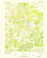
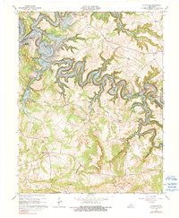
Editions of this 1967 Millerstown Map
3 editions found
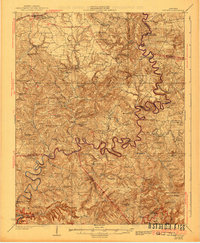
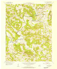
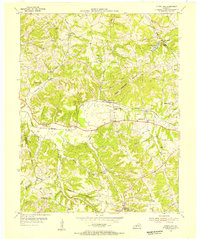
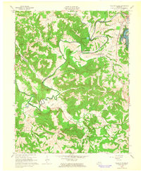
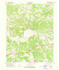
Historical Maps of Riders Mill Through Time
10 maps found
1925 Cub Run
Grayson County, KY
1953 Falls Of Rough
Grayson County, KY
1953 Mc Daniels
Grayson County, KY
1954 Millerstown
Grayson County, KY
1954 Spring Lick
Grayson County, KY
1963 Falls of Rough
Grayson County, KY
1963 Madrid
Grayson County, KY
1963 Mc Daniels
Grayson County, KY

1967 Millerstown
Grayson County, KY
1971 Spring Lick
Grayson County, KY