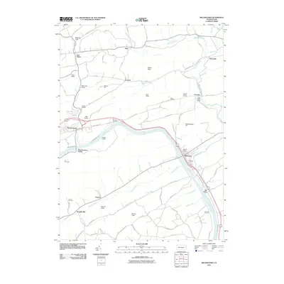
2010 Map of Millerstown
USGS Topo · Published 2010About this map
The Juniata River carves a deep path through Perry County, where the historic Pennsylvania Canal remains a visible trace of nineteenth-century transportation history. Parallel to the river's bend, the communities of Millerstown and Thompsontown serve as primary hubs, with Thompsontown Station marking the importance of the rail corridor. The landscape is defined by a series of northeast-trending ridges and narrow valleys, such as Pfoutz Valley and Potash Hollow, which constrained settlement to the arable lowlands and stream banks.
Find a feature on this map
69 named features on this map. Tap any name to fly to it.
Don’t see what you’re looking for? This feature index may not catch every label — zoom into the map to look around manually.
Map Details
Editions of this 2010 Millerstown Map
This is the sole edition of this map. No revisions or reprints were ever made.
Other maps of this area

1907 · New Bloomfield
USGS Topo · 1:62,500

1907 · Millerstown
USGS Topo · 1:62,500

1925 · Mifflintown
USGS Topo · 1:48,000

1930 · Loysville
USGS Topo · 1:62,500

1933 · Loysville
USGS Topo · 1:62,500

1934 · Mifflintown
USGS Topo · 1:62,500

1937 · Mifflintown
USGS Topo · 1:62,500

1943 · Millerstown
USGS Topo · 1:62,500

1943 · New Bloomfield
USGS Topo · 1:62,500

1950 · Harrisburg
USGS Topo · 1:250,000
Featured Places
- Millerstown, PA
- Thompsontown, PA
- Fayette Township, PA
- Tuscarora Township, PA
- Gramere, Tuscarora Township