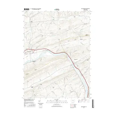
2016 Map of Millerstown
USGS Topo · Published 2016About this map
Millerstown and Thompsontown anchor this portion of the Juniata River corridor where Perry and Juniata counties meet. The landscape is defined by the heavy ridgelines of Tuscarora Mountain and Raccoon Ridge, which direct the flow of settlements into narrow valleys such as Pfoutz Valley and Kurtz Valley. A significant historical footprint remains visible in the form of the Pennsylvania Canal, which parallels the river, marking the transportation infrastructure that once dominated this region.
Find a feature on this map
103 named features on this map. Tap any name to fly to it.
Don’t see what you’re looking for? This feature index may not catch every label — zoom into the map to look around manually.
Map Details
Editions of this 2016 Millerstown Map
This is the sole edition of this map. No revisions or reprints were ever made.
Other maps of this area

1907 · New Bloomfield
USGS Topo · 1:62,500

1907 · Millerstown
USGS Topo · 1:62,500

1925 · Mifflintown
USGS Topo · 1:48,000

1930 · Loysville
USGS Topo · 1:62,500

1933 · Loysville
USGS Topo · 1:62,500

1934 · Mifflintown
USGS Topo · 1:62,500

1937 · Mifflintown
USGS Topo · 1:62,500

1943 · Millerstown
USGS Topo · 1:62,500

1943 · New Bloomfield
USGS Topo · 1:62,500

1950 · Harrisburg
USGS Topo · 1:250,000
Featured Places
- Millerstown, PA
- Thompsontown, PA
- Fayette Township, PA
- Tuscarora Township, PA
- Gramere, Tuscarora Township