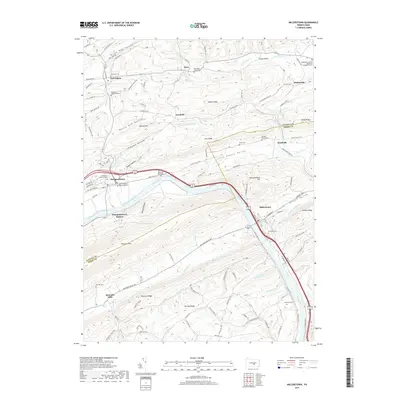
2019 Map of Millerstown
USGS Topo · Published 2019About this map
Millerstown and Thompsontown anchor this 2019 corridor where the Juniata River carves through the Appalachian ridges of Perry and Juniata Counties. The map reveals a landscape defined by sharp topographic contrasts, from the high elevations of Tuscarora Mtn and Wildcat Ridge to the fertile agricultural stretches of Little Pfoutz Valley and Black Dog Valley. This modern survey documents the persistent settlement patterns of central Pennsylvania, showing small communities like Maze, East Salem, and Goodville connected by a network of winding valley roads. Genealogists will find a high density of burial sites preserved across the terrain, including Riverview Cem overlooking the river and the Delaware Mennonite Cem. Industrial and transport history is visible at Thompson's Lock and Donnally Mills, marking the historical importance of water power and the Pennsylvania Canal system that once paralleled the river's course through these narrow gaps.
Find a feature on this map
116 named features on this map. Tap any name to fly to it.
Don’t see what you’re looking for? This feature index may not catch every label — zoom into the map to look around manually.
Map Details
Editions of this 2019 Millerstown Map
This is the sole edition of this map. No revisions or reprints were ever made.
Other maps of this area

1907 · New Bloomfield
USGS Topo · 1:62,500

1907 · Millerstown
USGS Topo · 1:62,500

1925 · Mifflintown
USGS Topo · 1:48,000

1930 · Loysville
USGS Topo · 1:62,500

1933 · Loysville
USGS Topo · 1:62,500

1934 · Mifflintown
USGS Topo · 1:62,500

1937 · Mifflintown
USGS Topo · 1:62,500

1943 · Millerstown
USGS Topo · 1:62,500

1943 · New Bloomfield
USGS Topo · 1:62,500

1950 · Harrisburg
USGS Topo · 1:250,000
Featured Places
- Millerstown, PA
- Thompsontown, PA
- Fayette Township, PA
- Tuscarora Township, PA
- Gramere, Tuscarora Township