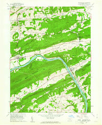
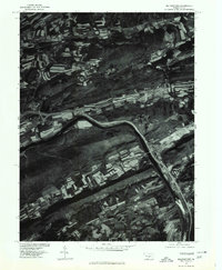
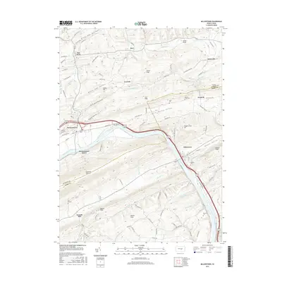
1959 Map of Millerstown
USGS Topo · Published 1961About this map
The Juniata River carves a deep valley through the ridges of central Pennsylvania, serving as the primary corridor for transportation and settlement in the late 1950s. Along its banks, the Pennsylvania railroad and the remnants of the Pennsylvania Canal reflect the region's industrial heritage, connecting hubs like Millerstown and Thompsontown. The landscape is defined by a series of parallel elevations, including Tuscarora Mountain and Hominy Ridge, which enclose productive agricultural valleys such as Pfoutz Valley and Kurtz Valley.
Find a feature on this map
67 named features on this map. Tap any name to fly to it.
Don’t see what you’re looking for? This feature index may not catch every label — zoom into the map to look around manually.
Map Details
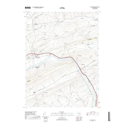
Editions of this 1959 Millerstown Map
3 editions found
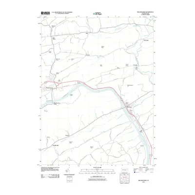
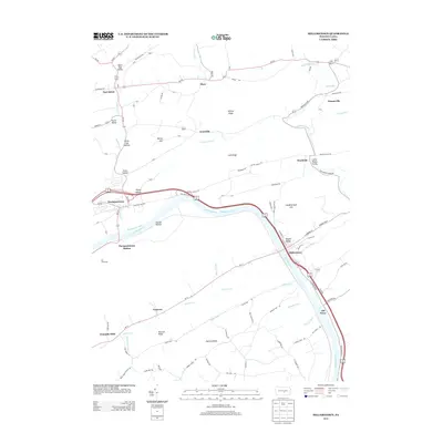
Historical Maps of Millerstown Through Time
10 maps found
1907 Millerstown
Perry County, PA

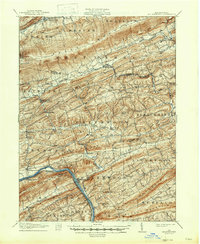
1943 Millerstown
Perry County, PA
1955 Millerstown
Perry County, PA
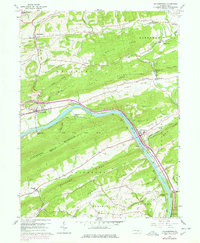
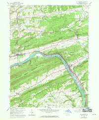
1959 Millerstown
Perry County, PA
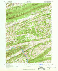
1977 Millerstown
Perry County, PA
2010 Millerstown
Perry County, PA
2013 Millerstown
Perry County, PA
2016 Millerstown
Perry County, PA
2019 Millerstown
Perry County, PA
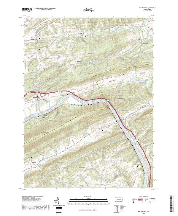
2023 Millerstown
Perry County, PA
Featured Locations
- Thompsontown, PA
- Tuscarora Township, PA
- Millerstown, PA
- Goodville, Delaware Township
- Old Ferry, Greenwood Township