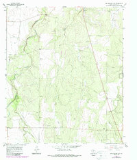
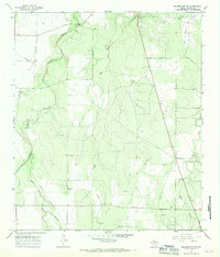
1967 Map of Millersview NW
USGS Topo · Published 1988About this map
Kickapoo Creek and its many branches, including Middle Kickapoo Creek and East Kickapoo Creek, define the drainage patterns of this Concho County landscape. Photogrammetric methods from 1966 and field checks in 1967 reveal a terrain shaped by water and small-scale resource extraction, evident in the numerous Gravel Pits and scattered Oil Wells found across the quadrangle. For those researching local family history, the map provides precise locations for burial sites such as the Paint Rock Cem in the northwest and the solitary Kersh Grave situated further south. The land is characterized by intermittent stream beds like Hog Creek and Duck Creek, which weave through the elevation marked by the Hog feature. A prominent Pipeline traverses the territory, reflecting the infrastructure supporting the region's energy interests during the late 1960s.
Find a feature on this map
14 named features on this map. Tap any name to fly to it.
Don’t see what you’re looking for? This feature index may not catch every label — zoom into the map to look around manually.
Map Details
Editions of this 1967 Millersview NW Map
2 editions found
Other maps of this area

1891 · Hayrick
USGS Topo · 1:125,000

1892 · San Angelo
USGS Topo · 1:125,000

1892 · Eden
USGS Topo · 1:125,000

1892 · Ballinger
USGS Topo · 1:125,000

1894 · Hayrick
USGS Topo · 1:125,000

1896 · Eden
USGS Topo · 1:125,000

1921 · Lowake
USGS Topo · 1:31,680

1925 · Ballinger 3-d
USGS Topo · 1:48,000

1932 · Paint Rock
USGS Topo · 1:62,500

1954 · Brownwood
USGS Topo · 1:250,000