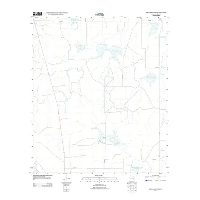
2013 Map of Millersview SE
USGS Topo · Published 2013About this map
Soil conservation infrastructure dominates this landscape in Concho County, where a series of numbered reservoirs and catchments are distributed across the drainage basins of several Mustang Creek forks. The map reveals a coordinated mid-century approach to water management and erosion control, featuring sites such as Soil Conservation Service Site 36 Reservoir and Soil Conservation Service Site 5-1 Reservoir. These man-made features are interspersed among natural watercourses like Duck Cr, Maverick Cr, and Kelly Cr. The area is primarily accessed by a network of rural routes, including FM-2134 and numerous county roads like Co RD-4400, reflecting a sparsely populated agricultural or ranching environment. The presence of Private Road 4030 suggests large private holdings typical of this part of Central Texas.
Find a feature on this map
25 named features on this map. Tap any name to fly to it.
Don’t see what you’re looking for? This feature index may not catch every label — zoom into the map to look around manually.
Map Details
Editions of this 2013 Millersview SE Map
This is the sole edition of this map. No revisions or reprints were ever made.
Other maps of this area

1892 · Eden
USGS Topo · 1:125,000

1896 · Eden
USGS Topo · 1:125,000

1931 · Stacy
USGS Topo · 1:62,500

1954 · Brownwood
USGS Topo · 1:250,000

1967 · Millersview SE
USGS Topo · 1:24,000
1967 · Millersview
USGS Topo · 1:24,000
1967 · Doole SW
USGS Topo · 1:24,000
1967 · Mustang Creek
USGS Topo · 1:24,000
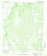
1967 · Millersview NW
USGS Topo · 1:24,000
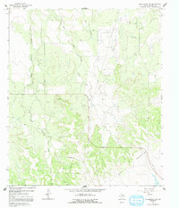
1967 · Millersview SW
USGS Topo · 1:24,000