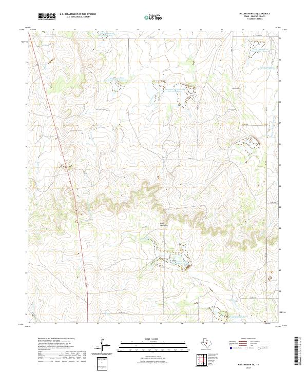
2022 Map of Millersview SE
USGS Topo · Published 2022About this map
The Brady Mountains dominate this Concho County landscape, where the high ground transitions into a complex network of seasonal drainages and modern water management infrastructure. This 2022 survey captures a rural Texas environment defined by its watershed engineering, featuring a high concentration of Soil Conservation Service reservoirs. These sites, including Soil Conservation Service Site 5-1 Reservoir and Soil Conservation Service Site 36 Reservoir, illustrate the long-term efforts to manage runoff and prevent erosion in a region prone to flash flooding. Natural watercourses such as W Fork Mustang Cr and Maverick Cr carve through the terrain, while a sparse grid of county roads, including Co RD 4131 and Co RD 4349, provides access to the surrounding ranchland. The map provides a clear look at how topography and government land management have shaped the contemporary use of this central Texas territory.
Find a feature on this map
21 named features on this map. Tap any name to fly to it.
Don’t see what you’re looking for? This feature index may not catch every label — zoom into the map to look around manually.
Map Details
Editions of this 2022 Millersview SE Map
This is the sole edition of this map. No revisions or reprints were ever made.
Other maps of this area

1892 · Eden
USGS Topo · 1:125,000

1896 · Eden
USGS Topo · 1:125,000

1931 · Stacy
USGS Topo · 1:62,500

1954 · Brownwood
USGS Topo · 1:250,000

1967 · Millersview SE
USGS Topo · 1:24,000
1967 · Millersview
USGS Topo · 1:24,000
1967 · Doole SW
USGS Topo · 1:24,000
1967 · Mustang Creek
USGS Topo · 1:24,000
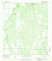
1967 · Millersview NW
USGS Topo · 1:24,000
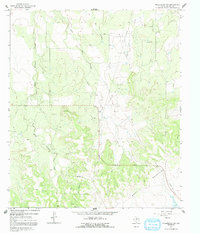
1967 · Millersview SW
USGS Topo · 1:24,000