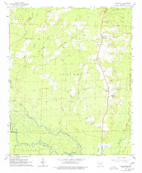
1964 Map of Millerville
USGS Topo · Published 1977About this map
The Saline River meanders across the southern portion of this Grant County landscape, defining the border between Davis and Chester townships. The topography is a network of small drainages including Lost Creek, McGhee Creek, and Hurricane Creek, which carve through the timbered terrain. Small rural communities like Millerville and Cross Roads serve as the primary nodes of activity, connected by a developing road system that includes a Roadside Park and a prominent Lookout Tower for forest management.
Find a feature on this map
29 named features on this map. Tap any name to fly to it.
Don’t see what you’re looking for? This feature index may not catch every label — zoom into the map to look around manually.
Map Details
Editions of this 1964 Millerville Map
3 editions found
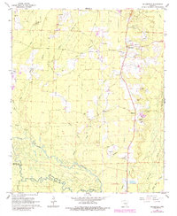
Other maps of this area

1955 · Little Rock
USGS Topo · 1:250,000

1956 · Little Rock
USGS Topo · 1:250,000

1960 · Little Rock
USGS Topo · 1:250,000

1963 · Prattsville
USGS Topo · 1:24,000

1964 · Little Rock
USGS Topo · 1:250,000

1964 · Staves
USGS Topo · 1:24,000

1964 · Sheridan
USGS Topo · 1:24,000

1964 · Bunn
USGS Topo · 1:24,000
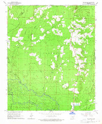
1964 · Millerville
USGS Topo · 1:24,000
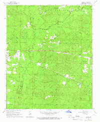
1964 · Prague
USGS Topo · 1:24,000