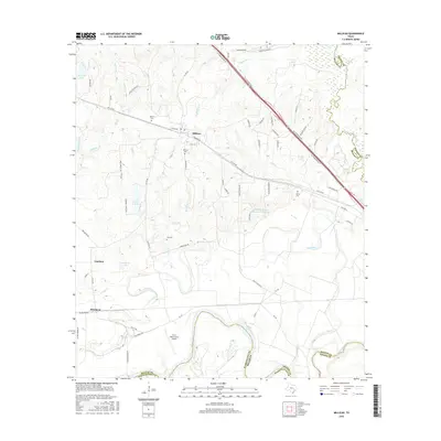
2016 Map of Millican
USGS Topo · Published 2016About this map
The Brazos River forms a winding southern boundary for this portion of Brazos and Washington counties, joined at the southeastern corner by the Navasota River. The settlement of Millican sits near the center of the sheet, surrounded by several family and community burial grounds including Millican Cem, Weaver Cem, and Cox Cem. The terrain is defined by the prominent Navasota Ridge to the north and a dense network of tributaries like Millican Cr and Clifty Cr that feed into the river systems below.
Find a feature on this map
78 named features on this map. Tap any name to fly to it.
Don’t see what you’re looking for? This feature index may not catch every label — zoom into the map to look around manually.
Map Details
Editions of this 2016 Millican Map
This is the sole edition of this map. No revisions or reprints were ever made.
Other maps of this area

1913 · Millican
USGS Topo · 1:31,680

1914 · Gay Hill
USGS Topo · 1:62,500

1914 · Navasota
USGS Topo · 1:62,500

1954 · Austin
USGS Topo · 1:250,000

1956 · Bryan
USGS Topo · 1:62,500

1956 · Carlos
USGS Topo · 1:62,500

1958 · Washington
USGS Topo · 1:24,000

1958 · Navasota
USGS Topo · 1:24,000

1958 · Courtney
USGS Topo · 1:24,000

1959 · Millican
USGS Topo · 1:24,000