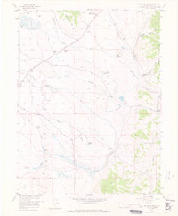
1957 Map of Milligan Lakes
USGS Topo · Published 1976About this map
South Park's high-altitude basin reveals a landscape of ranching and early transportation in this mid-century survey. The terrain is defined by the winding paths of Michigan Creek and Jefferson Creek, which feed into the Tarryall Creek system. An Old Railroad Grade cuts across the northern landscape near Michigan Hill, marking the path of former mountain transit lines. Numerous family-named operations like the Slash 6 Ranch, Collard Ranch (Headquarters), and Rocker Seven Ranch dominate the valley floor, illustrating the region's agricultural roots. Resource extraction is noted by the King Mine and areas of Tailings along the gulches, while water management for these high-country operations is evidenced by the Cline Reservoir and various irrigation ditches like the Packer Ditch branching off the primary watercourses.
Find a feature on this map
31 named features on this map. Tap any name to fly to it.
Don’t see what you’re looking for? This feature index may not catch every label — zoom into the map to look around manually.
Map Details
Editions of this 1957 Milligan Lakes Map
2 editions found
Other maps of this area

1937 · Como
USGS Topo · 1:62,500

1945 · Mount Logan
USGS Topo · 1:24,000

1948 · Mount Logan
USGS Topo · 1:24,000

1953 · Denver
USGS Topo · 1:250,000

1956 · Eagle Rock
USGS Topo · 1:24,000

1956 · Elkhorn
USGS Topo · 1:24,000

1956 · Fairplay East
USGS Topo · 1:24,000

1957 · Denver
USGS Topo · 1:250,000
1957 · Boreas Pass
USGS Topo · 1:24,000
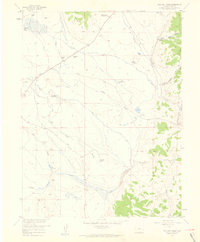
1957 · Milligan Lakes
USGS Topo · 1:24,000