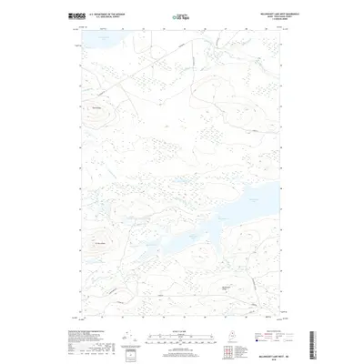
2018 Map of Millinocket Lake West
USGS Topo · Published 2018About this map
Millinocket Lake and its smaller counterpart, Little Millinocket Lake, dominate the southern half of this interior Maine landscape. Connected by a channel known as The Thorofare, these waters are fed by a complex drainage system including Aroostook Brook and Caribou Brook. To the north, the terrain rises toward South Ridge before descending into the Munsungan Lake basin, where Munsungan Falls marks a notable drop in the local hydrology.
Find a feature on this map
33 named features on this map. Tap any name to fly to it.
Don’t see what you’re looking for? This feature index may not catch every label — zoom into the map to look around manually.
Map Details
Editions of this 2018 Millinocket Lake West Map
This is the sole edition of this map. No revisions or reprints were ever made.
Other maps of this area

1953 · Telos Lake
USGS Topo · 1:62,500

1954 · Spider Lake
USGS Topo · 1:62,500

1954 · Millinocket Lake
USGS Topo · 1:62,500

1954 · Presque Isle
USGS Topo · 1:250,000

1955 · Traveler Mountain
USGS Topo · 1:62,500

1957 · Telos Lake
USGS Topo · 1:62,500

1958 · Presque Isle
USGS Topo · 1:250,000

1960 · Presque Isle
USGS Topo · 1:250,000

1961 · Spider Lake
USGS Topo · 1:62,500
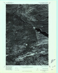
1975 · Traveler Mountain NW
USGS Topo · 1:24,000