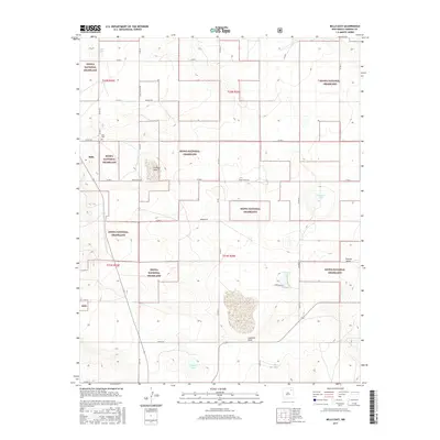
2017 Map of Mills East
USGS Topo · Published 2017About this map
Kiowa National Grassland dominates the landscape of this high plains region, where the prairie is interspersed with ephemeral playas and basins. The small settlement of Mills sits on the western edge of the quadrangle, serving as a primary point of reference for researchers tracing the local history of Harding County. Near the townsite, the Mills Cem provides a vital link for genealogists studying the families who settled this open range.
Find a feature on this map
31 named features on this map. Tap any name to fly to it.
Don’t see what you’re looking for? This feature index may not catch every label — zoom into the map to look around manually.
Map Details
Editions of this 2017 Mills East Map
This is the sole edition of this map. No revisions or reprints were ever made.
Other maps of this area

1954 · Santa Fe
USGS Topo · 1:250,000

1954 · Raton
USGS Topo · 1:250,000

1958 · Raton
USGS Topo · 1:250,000

1958 · Santa Fe
USGS Topo · 1:250,000

1971 · Abbott Lake
USGS Topo · 1:24,000

1971 · Beaver Canyon
USGS Topo · 1:24,000

1972 · Mills West
USGS Topo · 1:24,000
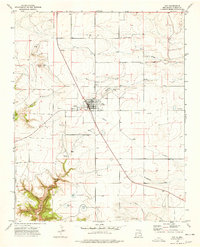
1974 · Roy
USGS Topo · 1:24,000
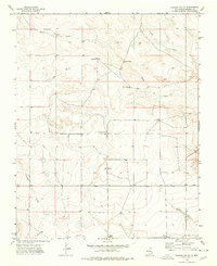
1974 · Kansas Valley
USGS Topo · 1:24,000
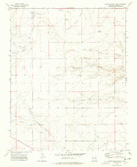
1974 · Kansas Valley Lake
USGS Topo · 1:24,000