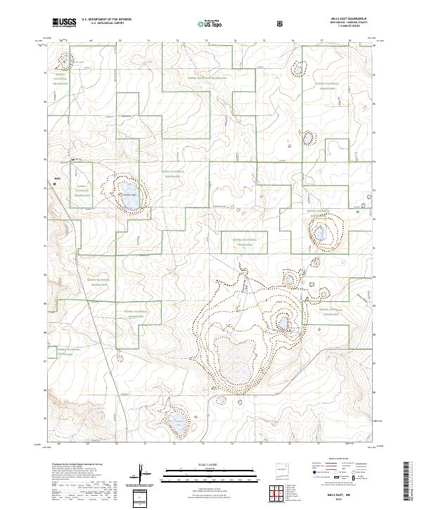
2023 Map of Mills East
USGS Topo · Published 2023About this map
The high plains of Harding County define this landscape, where the small settlement of Mills sits at the edge of the Kiowa National Grassland. This 2023 survey illustrates a rural environment shaped by ranching and water management, with a network of local thoroughfares like Shaw Ranch Rd and Craft Ranch Rd connecting isolated homesteads. The topography is marked by several ephemeral water bodies, including Chicosa Lake, Cochran Lake, and Payton Lake, which are vital resources in this semi-arid region.
Find a feature on this map
29 named features on this map. Tap any name to fly to it.
Don’t see what you’re looking for? This feature index may not catch every label — zoom into the map to look around manually.
Map Details
Editions of this 2023 Mills East Map
This is the sole edition of this map. No revisions or reprints were ever made.
Other maps of this area

1954 · Santa Fe
USGS Topo · 1:250,000

1954 · Raton
USGS Topo · 1:250,000

1958 · Raton
USGS Topo · 1:250,000

1958 · Santa Fe
USGS Topo · 1:250,000

1971 · Abbott Lake
USGS Topo · 1:24,000

1971 · Beaver Canyon
USGS Topo · 1:24,000

1972 · Mills West
USGS Topo · 1:24,000
1974 · Roy
USGS Topo · 1:24,000
1974 · Kansas Valley
USGS Topo · 1:24,000
1974 · Kansas Valley Lake
USGS Topo · 1:24,000