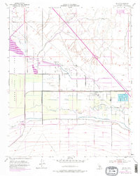
1954 Map of Millux
USGS Topo · Published 1976About this map
The industrial and agricultural landscape of Kern County is meticulously documented in this mid-century survey, centered on the Millux settlement. At this time, the region was defined by a massive network of petroleum infrastructure, dominated by the Paloma Oil Refinery and extensive clusters of Oil Sumps and Oil Tanks. These industrial sites are juxtaposed with the hydrological transformations of the Buena Vista Lake Bed, where the Connecting Slough and channels like the New Hill Ditch and Old Rim Ditch reveal the effort to manage water in an arid basin. The map captures a moment when the Approximate Old Shoreline remained a visible trace on the landscape, even as the Buena Vista Pipe Line and numerous other conduits redirected the area's natural resources for modern use.
Find a feature on this map
26 named features on this map. Tap any name to fly to it.
Don’t see what you’re looking for? This feature index may not catch every label — zoom into the map to look around manually.
Map Details
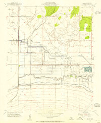
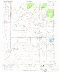
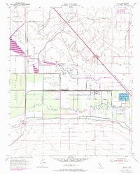
Editions of this 1954 Millux Map
4 editions found
Other maps of this area

1910 · Buena Vista Lake
USGS Topo · 1:125,000

1912 · Buena Vista Lake
USGS Topo · 1:125,000

1929 · Stevens
USGS Topo · 1:31,680

1929 · Coles Levee
USGS Topo · 1:31,680

1929 · Mouth of Kern
USGS Topo · 1:31,680

1930 · Millux
USGS Topo · 1:31,680

1930 · Conner
USGS Topo · 1:31,680

1931 · Pentland Junction
USGS Topo · 1:31,680

1931 · Hayes Ranch
USGS Topo · 1:31,680

1932 · Mouth of Kern
USGS Topo · 1:31,680