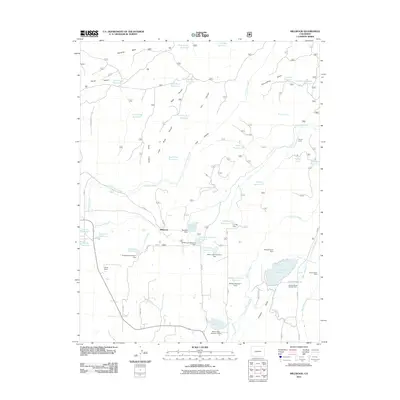
2011 Map of Millwood
USGS Topo · Published 2011About this map
Jackson Gulch Reservoir and Mancos State Park dominate the southeastern landscape of this Montezuma County region, where water management and recreation meet. The terrain is defined by a series of deep cuts including Carver Canyon, Rock Canyon, and Lost Canyon, which drain south and west from the heights of Haycamp Mesa. The settlement of Millwood serves as a central point in a network of rural routes such as Road 37 and Road P.
Find a feature on this map
69 named features on this map. Tap any name to fly to it.
Don’t see what you’re looking for? This feature index may not catch every label — zoom into the map to look around manually.
Map Details
Editions of this 2011 Millwood Map
This is the sole edition of this map. No revisions or reprints were ever made.
Other maps of this area

1895 · La Plata
USGS Topo · 1:62,500

1897 · La Plata
USGS Topo · 1:62,500

1897 · Rico
USGS Topo · 1:62,500

1898 · Rico
USGS Topo · 1:62,500

1899 · La Plata
USGS Topo · 1:62,500

1899 · Rico
USGS Topo · 1:62,500

1908 · La Plata
USGS Topo · 1:62,500

1956 · Cortez
USGS Topo · 1:250,000

1958 · Cortez
USGS Topo · 1:250,000

1959 · Cortez
USGS Topo · 1:250,000