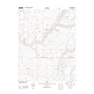
2013 Map of Millwood
USGS Topo · Published 2013About this map
The San Juan National Forest defines the landscape of this Montezuma County quadrangle, where a complex network of reservoirs and irrigation ditches supports the region's high-altitude water management. Settlements like Millwood and Porters Camp are surrounded by an intricate system of water features, including the Lumber Company Reservoir, Joe Moore Reservoir, and Summit Reservoir. The eastern edge is anchored by Mancos State Park, home to the expansive Jackson Gulch Reservoir and its associated Jackson Gulch Campground.
Find a feature on this map
63 named features on this map. Tap any name to fly to it.
Don’t see what you’re looking for? This feature index may not catch every label — zoom into the map to look around manually.
Map Details
Editions of this 2013 Millwood Map
This is the sole edition of this map. No revisions or reprints were ever made.
Other maps of this area

1895 · La Plata
USGS Topo · 1:62,500

1897 · La Plata
USGS Topo · 1:62,500

1897 · Rico
USGS Topo · 1:62,500

1898 · Rico
USGS Topo · 1:62,500

1899 · La Plata
USGS Topo · 1:62,500

1899 · Rico
USGS Topo · 1:62,500

1908 · La Plata
USGS Topo · 1:62,500

1956 · Cortez
USGS Topo · 1:250,000

1958 · Cortez
USGS Topo · 1:250,000

1959 · Cortez
USGS Topo · 1:250,000