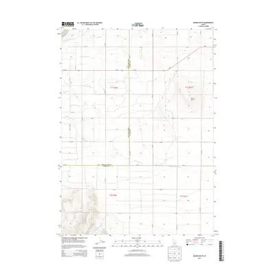
2013 Map of Milner Butte
USGS Topo · Published 2013About this map
Milner Butte rises as a prominent landmark above the surrounding high desert terrain on this modern survey of the border between Twin Falls and Cassia counties. The landscape is defined by the critical irrigation infrastructure of the Snake River Plain, most notably the Twin Falls Main Canal and Milner Main Canal, which redirected water to transform this arid region into productive agricultural land. These man-made waterways contrast with the natural drainage patterns of Big Cottonwood Cr and the reservoir at Murtaugh Lake. In the southern portion of the map, the terrain becomes more varied as Mountain Meadow Cr descends from the foothills. The gridded network of rural roads, such as Us-30 E and various township lines, illustrates the systematic development of Idaho's agricultural interior a century after the first large-scale irrigation projects began.
Find a feature on this map
23 named features on this map. Tap any name to fly to it.
Don’t see what you’re looking for? This feature index may not catch every label — zoom into the map to look around manually.
Map Details
Editions of this 2013 Milner Butte Map
This is the sole edition of this map. No revisions or reprints were ever made.
Other maps of this area

1954 · Pocatello
USGS Topo · 1:250,000

1955 · Twin Falls
USGS Topo · 1:250,000

1958 · Twin Falls
USGS Topo · 1:250,000

1958 · Pocatello
USGS Topo · 1:250,000

1964 · Burley SW
USGS Topo · 1:24,000

1964 · Eden
USGS Topo · 1:24,000

1964 · Milner
USGS Topo · 1:24,000

1964 · Burley Butte
USGS Topo · 1:24,000

1965 · Rams Horn Ridge
USGS Topo · 1:24,000

1965 · Milner Butte
USGS Topo · 1:24,000