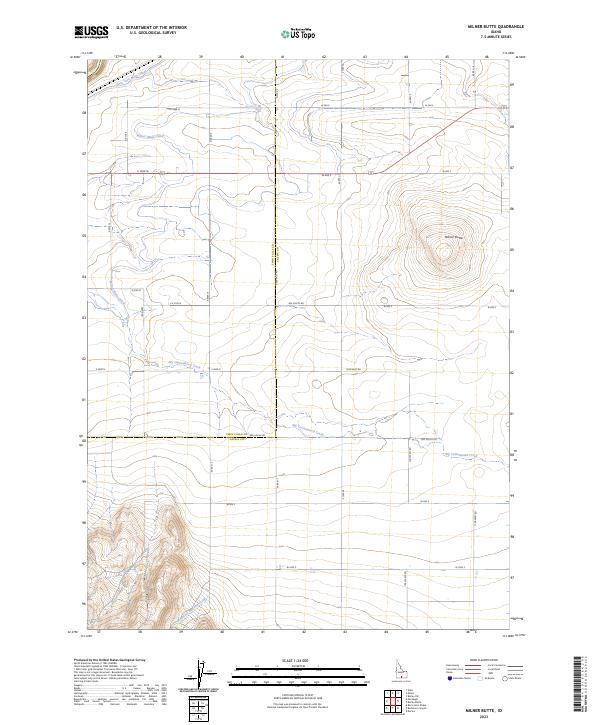
2023 Map of Milner Butte
USGS Topo · Published 2023About this map
Milner Butte rises as a prominent landmark in this section of Southern Idaho, where the desert landscape meets an engineered network of agricultural waterways. The geography is defined by the vital irrigation infrastructure of the Twin Falls Main Canal and the Milner Main Canal, which divert water to support the region's productivity. These canals cut across the high plains, intersecting a rigid grid of rural roads like 600 South Rd and 1200 West Rd. Natural drainage persists through the winding paths of Big Cottonwood Creek and Mountain Meadow Creek, which contrast with the straight lines of the man-made channels. This survey captures the boundary between Twin Falls Co and Cassia Co, illustrating how modern land use and historical water management have reshaped the Snake River Plain.
Find a feature on this map
23 named features on this map. Tap any name to fly to it.
Don’t see what you’re looking for? This feature index may not catch every label — zoom into the map to look around manually.
Map Details
Editions of this 2023 Milner Butte Map
This is the sole edition of this map. No revisions or reprints were ever made.
Other maps of this area

1954 · Pocatello
USGS Topo · 1:250,000

1955 · Twin Falls
USGS Topo · 1:250,000

1958 · Twin Falls
USGS Topo · 1:250,000

1958 · Pocatello
USGS Topo · 1:250,000

1964 · Burley SW
USGS Topo · 1:24,000

1964 · Eden
USGS Topo · 1:24,000

1964 · Milner
USGS Topo · 1:24,000

1964 · Burley Butte
USGS Topo · 1:24,000

1965 · Rams Horn Ridge
USGS Topo · 1:24,000

1965 · Milner Butte
USGS Topo · 1:24,000