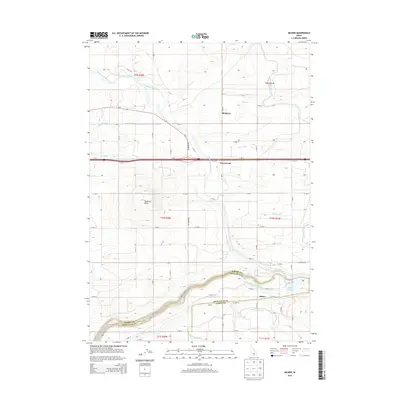
2013 Map of Milner
USGS Topo · Published 2013About this map
Milner and the surrounding agricultural landscape of the Magic Valley are defined by an intricate network of irrigation projects drawing from the Snake River. This 2013 survey documents the modern state of these massive engineering efforts, including the North Side Main Canal, the Milner Gooding Canal, and the Twin Falls Main Canal. These waterways snake across the high desert plains, transforming the arid terrain into productive farmland. The topography is anchored by Hazelton Butte, providing a rare elevation point amidst the web of laterals and ditches. Smaller community hubs like Greenwood and McHenry are situated along these water routes, reflecting the settlement patterns dictated by irrigation access. Significant water bodies such as Wilson Lake Reservoir and Milner Lake serve as key storage and recreation points within this hydraulic system that straddles the borders of Jerome, Twin Falls, and Cassia counties.
Find a feature on this map
50 named features on this map. Tap any name to fly to it.
Don’t see what you’re looking for? This feature index may not catch every label — zoom into the map to look around manually.
Map Details
Editions of this 2013 Milner Map
This is the sole edition of this map. No revisions or reprints were ever made.
Other maps of this area

1954 · Pocatello
USGS Topo · 1:250,000

1955 · Twin Falls
USGS Topo · 1:250,000

1958 · Twin Falls
USGS Topo · 1:250,000

1958 · Pocatello
USGS Topo · 1:250,000

1964 · Burley SW
USGS Topo · 1:24,000

1964 · Burley NW
USGS Topo · 1:24,000

1964 · Eden
USGS Topo · 1:24,000

1964 · Milner
USGS Topo · 1:24,000

1964 · Hazelton NE
USGS Topo · 1:24,000

1964 · Burley Butte
USGS Topo · 1:24,000