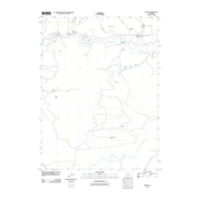
2010 Map of Milner
USGS Topo · Published 2010About this map
Milner and the nearby settlement of McGregor anchor this portion of the Yampa Valley, where the landscape is defined by a dense concentration of energy extraction sites. The northern corridor follows the Yampa River and its associated drainage gulches, including Coal View Gulch and Butcherknife Gulch, which have long been centers of industrial activity. The presence of numerous named mines such as the Rustic Coal Mine, International Mine, and Meadows Number One Mine illustrates the intense development of the region's mineral resources.
Find a feature on this map
42 named features on this map. Tap any name to fly to it.
Don’t see what you’re looking for? This feature index may not catch every label — zoom into the map to look around manually.
Map Details
Editions of this 2010 Milner Map
This is the sole edition of this map. No revisions or reprints were ever made.
Other maps of this area

1911 · Hahns Peak
USGS Topo · 1:125,000

1913 · Hahns Peak
USGS Topo · 1:125,000

1923 · Pilot Knob
USGS Topo · 1:62,500

1924 · Mt. Harris
USGS Topo · 1:48,000

1925 · Pilot Knob
USGS Topo · 1:62,500

1926 · Mount Harris
USGS Topo · 1:62,500

1954 · Craig
USGS Topo · 1:250,000

1957 · Craig
USGS Topo · 1:250,000

1958 · Craig
USGS Topo · 1:250,000

1960 · Craig
USGS Topo · 1:250,000