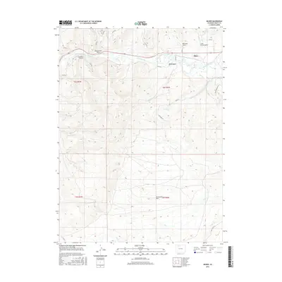
2016 Map of Milner
USGS Topo · Published 2016About this map
The Yampa River serves as the central artery for this portion of Routt County, carving a path through a landscape defined by deep gulches and high plains. The settlement of Milner sits at a geographic crossroads near the confluence of Trout Cr and the river, while the smaller community of McGregor lies just to the west. This 2016 survey illustrates the persistent ranching and agricultural patterns of the region, where numerous county roads like Co RD 52 and Co RD 44 follow the contours of the drainage systems.
Find a feature on this map
35 named features on this map. Tap any name to fly to it.
Don’t see what you’re looking for? This feature index may not catch every label — zoom into the map to look around manually.
Map Details
Editions of this 2016 Milner Map
This is the sole edition of this map. No revisions or reprints were ever made.
Other maps of this area

1911 · Hahns Peak
USGS Topo · 1:125,000

1913 · Hahns Peak
USGS Topo · 1:125,000

1923 · Pilot Knob
USGS Topo · 1:62,500

1924 · Mt. Harris
USGS Topo · 1:48,000

1925 · Pilot Knob
USGS Topo · 1:62,500

1926 · Mount Harris
USGS Topo · 1:62,500

1954 · Craig
USGS Topo · 1:250,000

1957 · Craig
USGS Topo · 1:250,000

1958 · Craig
USGS Topo · 1:250,000

1960 · Craig
USGS Topo · 1:250,000