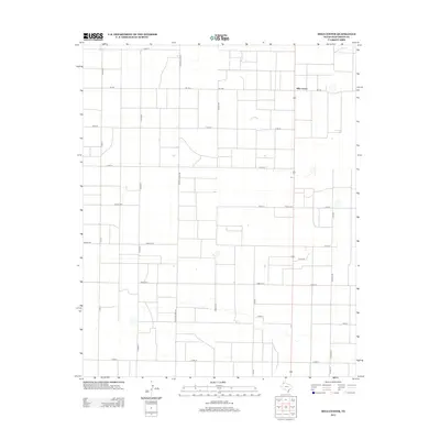
2012 Map of Milo Center
USGS Topo · Published 2012About this map
Milo Center sits at the heart of this agricultural landscape in Deaf Smith County, defined by a rigid grid of county roads and farm-to-market routes. The terrain is dominated by vast tracts of farmland, organized into large rectangular parcels that stretch across the High Plains. Transportation is the primary structural element of the area, with Fm-1057 and Fm-1062 serving as the principal corridors connecting this rural community to the wider region. Long thoroughfares like Tierra Blanca Rd and Co Rd HH bisect the map, while local routes such as Road 14th and Road 13th provide access to the interior fields. This survey illustrates the persistent geometry of West Texas ranching and farming, where named roads like Yucca Dr and Co Rd 66 mark the boundaries of modern land use in a region characterized by its expansive open spaces.
Find a feature on this map
22 named features on this map. Tap any name to fly to it.
Don’t see what you’re looking for? This feature index may not catch every label — zoom into the map to look around manually.
Map Details
Editions of this 2012 Milo Center Map
This is the sole edition of this map. No revisions or reprints were ever made.
Other maps of this area

1954 · Tucumcari
USGS Topo · 1:250,000

1954 · Clovis
USGS Topo · 1:250,000

1958 · Clovis
USGS Topo · 1:250,000

1958 · Tucumcari
USGS Topo · 1:250,000

1965 · Allison Ranch
USGS Topo · 1:24,000

1966 · Overstreet Lake
USGS Topo · 1:24,000

1966 · Ford
USGS Topo · 1:24,000

1970 · Hereford
USGS Topo · 1:24,000

1971 · Westway
USGS Topo · 1:24,000

1971 · Hereford NE
USGS Topo · 1:24,000