
1962 Map of Milolii
USGS Topo · Published 1964About this map
The coastal village of Milolii remains a focal point on this South Kona shoreline, where traditional Hawaiian land divisions and recent volcanic history intersect. This 1962 field-checked survey documents a landscape transformed by the Alika Lava Flow of 1919 and the Hoopuloa Lava Flow of 1926, the latter of which famously overran the original settlement at Hoopuloa. Along the rugged coast, ancient sites like the Ahole Heiau near Puu Hinahina Bay stand in proximity to numerous ruins at Papa Bay and Kipahoehoe Bay, suggesting a long history of habitation before the lava flows altered the terrain. The map details the steep descent from the Kipahoehoe South Kona Forest Reserve toward a string of remote inlets, including Honomalino Bay and Kapua Bay, many of which were accessible only by narrow coastal trails and jeep paths during this era.
Find a feature on this map
49 named features on this map. Tap any name to fly to it.
Don’t see what you’re looking for? This feature index may not catch every label — zoom into the map to look around manually.
Map Details
Editions of this 1962 Milolii Map
This is the sole edition of this map. No revisions or reprints were ever made.
Other maps of this area

1928 · Hoopuloa
USGS Topo · 1:62,500

1954 · Hawaii South
USGS Topo · 1:250,000

1959 · Hawaii South
USGS Topo · 1:250,000

1961 · Hawaii South
USGS Topo · 1:250,000

1962 · Hawaii South
USGS Topo · 1:250,000
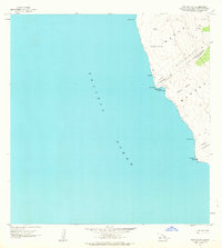
1962 · Manuka Bay
USGS Topo · 1:24,000

1962 · Pohue Bay
USGS Topo · 1:24,000

1962 · Papa
USGS Topo · 1:24,000
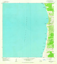
1962 · Kauluoa Point
USGS Topo · 1:24,000
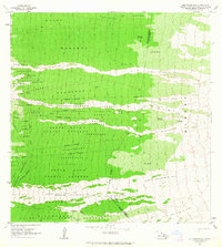
1963 · Puu Pohakuloa
USGS Topo · 1:24,000